District Paramaribo
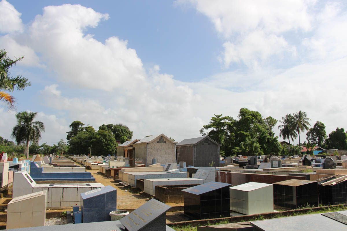
Hodi Mihi Cras Tibi
ID
SUR-048
Place
Paramaribo
Address
Sophie Redmondstraat
Location
5°49'59.5"N 55°10'32.3"W
Size (m2)
Denomination
Public
Owner
In use
1966
Out of use
Still exists
Yes
Information
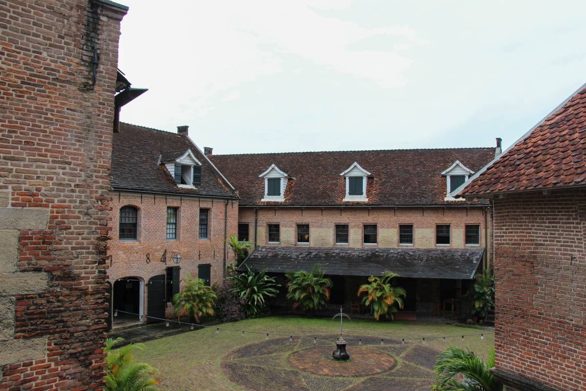
Fort Zeelandia - Binnenfort
ID
SUR-001
Place
Paramaribo
Address
Waterkant
Location
5°49'30.7"N 55°08'59.2"W
Size (m2)
Denomination
Gouvernement
Owner
In use
1667
Out of use
Still exists
No
Information
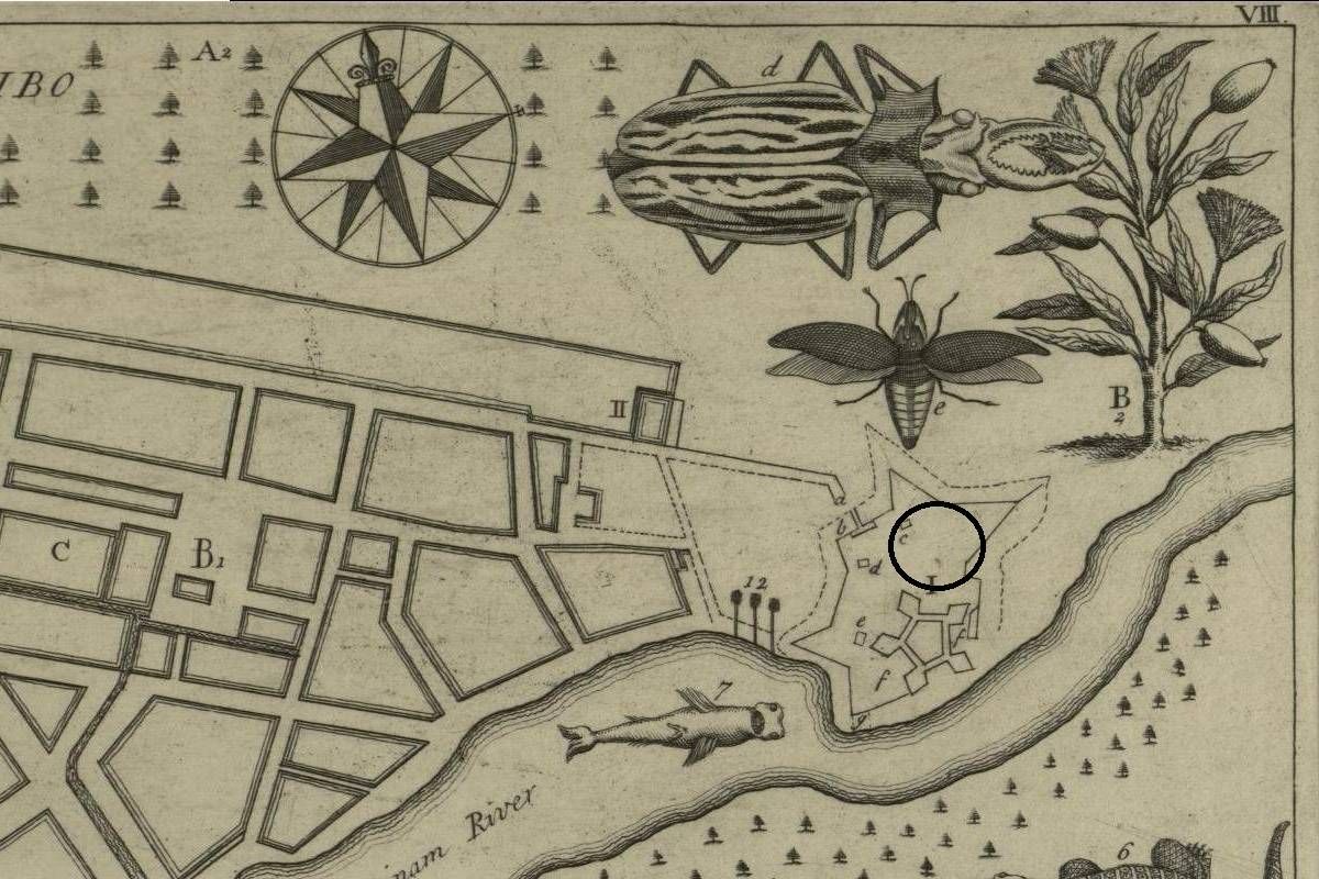
Fort Zeelandia - Buitenfort
ID
SUR-002
Place
Paramaribo
Address
Waterkant
Location
5°49'30.7"N 55°08'59.2"W
Size (m2)
Denomination
Gouvernement
Owner
In use
1667
Out of use
1799
Still exists
No
Information
Presumed location of the cemetery.
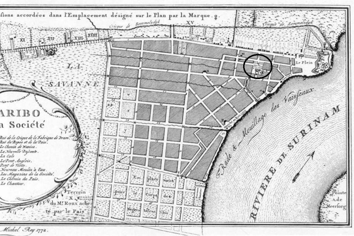
Orangegarden
ID
SUR-003
Place
Paramaribo
Address
Kerkplein
Location
5°49'37.5"N 55°09'19.4"W
Size (m2)
Denomination
Reformed
Owner
Reformed Church
In use
1690
Out of use
1801
Still exists
No
Information
Dutch: 'Oranjetuin'.
There is no evidence so far people were buried inside the previous church (1814-1821), which was destroyed by fire.
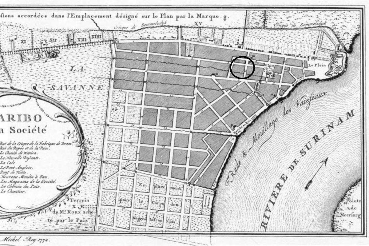
Poor men's cemetery (I)
ID
SUR-004
Place
Paramaribo
Address
Wagenwegstraat/Klipstenenstraat
Location
5°49'41.1"N 55°09'26.1"W
Size (m2)
Denomination
Gouvernement
Owner
Hervormde kerk
In use
1690
Out of use
1750
Still exists
No
Information
Dutch: Armenbegraafplaats
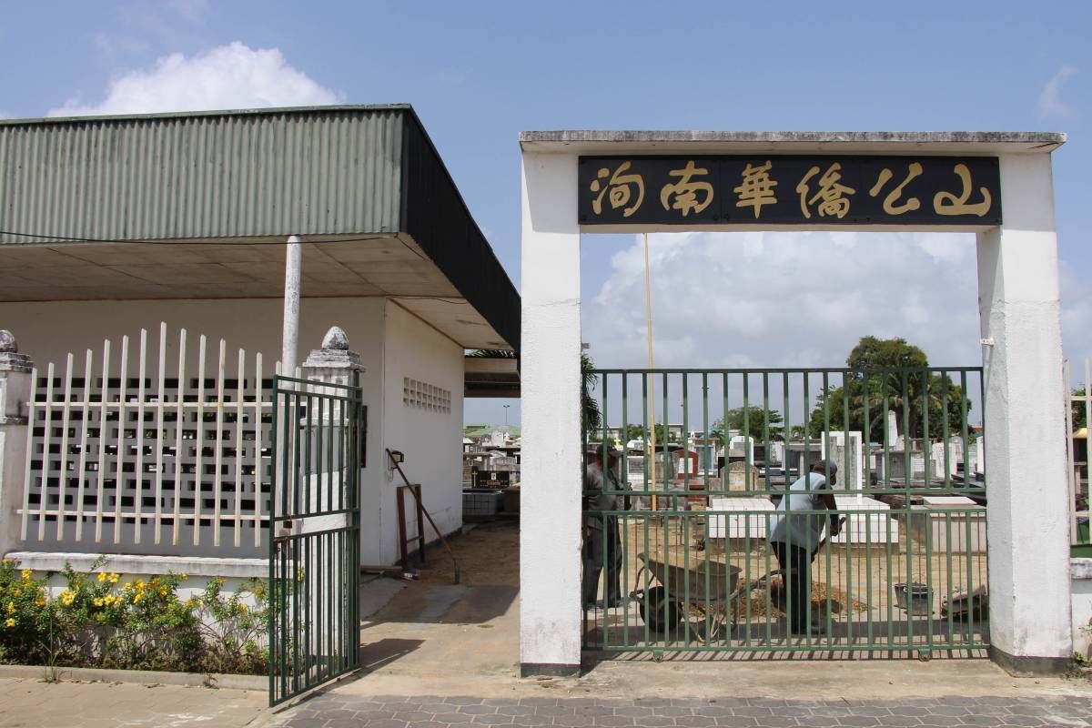
Fa Tjauw Koen Song
ID
SUR-040
Place
Paramaribo
Address
Schietbaanweg
Location
5°50'24.6"N 55°09'14.0"W
Size (m2)
Denomination
Chinese
Owner
In use
1946
Out of use
Still exists
Yes
Information
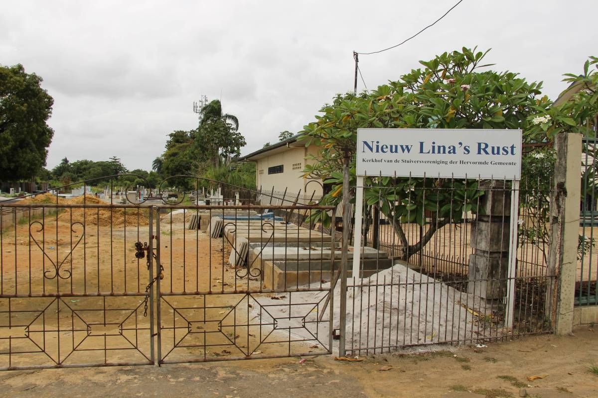
New Lina's Rust
ID
SUR-039
Place
Paramaribo
Address
J.A. Pengelstraat
Location
5°49'46.2"N 55°10'06.7"W
Size (m2)
Denomination
Reformed
Owner
Stuiversvereniging
In use
1940
Out of use
Still exists
Yes
Information
Previous Wanicastraat.
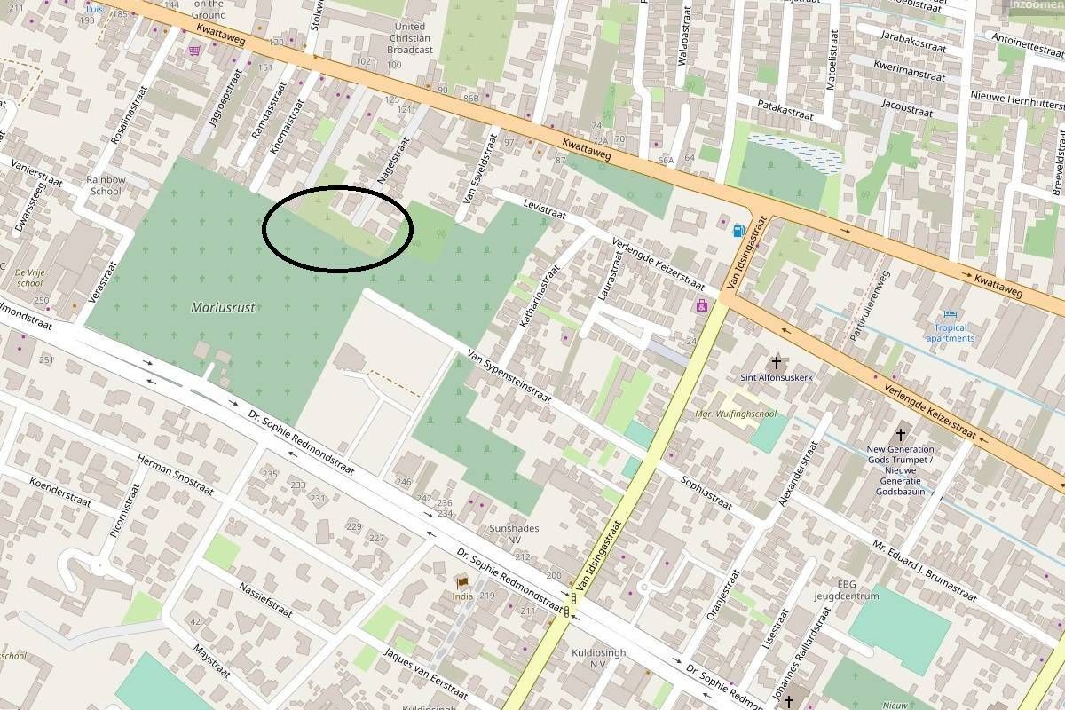
SIV (old)
ID
SUR-038
Place
Paramaribo
Address
Via Nagelstraat?
Location
5°50'09.0"N 55°10'35.1"W
Size (m2)
Denomination
Muslim
Owner
SIV
In use
1930
Out of use
unknown
Still exists
Yes
Information
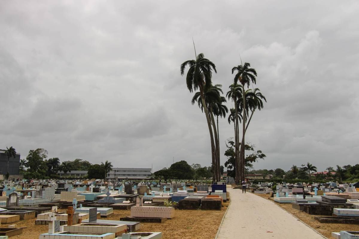
RC Cemetery
ID
SUR-036
Place
Paramaribo
Address
Schietbaanweg
Location
5°50'24.2"N 55°09'14.8"W
Size (m2)
Denomination
R.C.
Owner
In use
1917
Out of use
Still exists
Yes
Information
Original entrance at the Prinsessestraat.
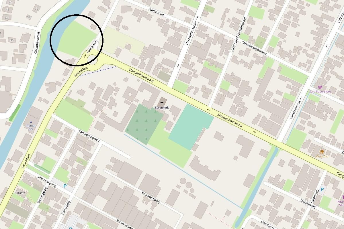
Public Cemetery Saron
ID
SUR-037
Place
Paramaribo
Address
Awaradam
Location
5°48'22.5"N 55°10'52.4"W
Size (m2)
Denomination
None
Owner
In use
1927
Out of use
Still exists
Yes
Information
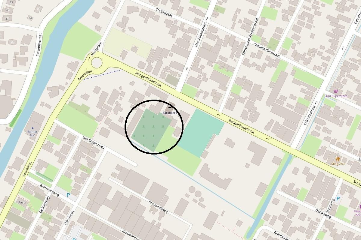
Churchyard Saron
ID
SUR-032
Place
Paramaribo
Address
Slangenhoutstraat
Location
5°48'17.8"N 55°10'48.1"W
Size (m2)
Denomination
EBG
Owner
EBG
In use
1900
Out of use
Still exists
Yes
Information
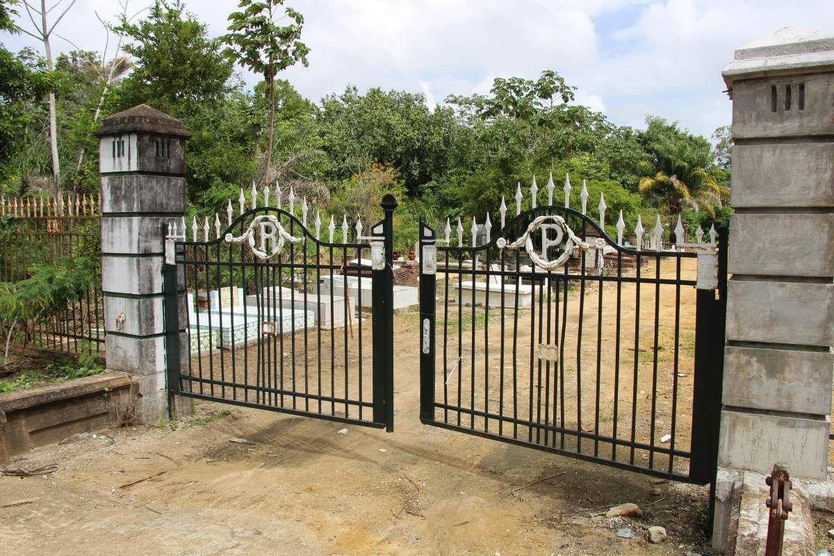
Old Vrede en Arbeid
ID
SUR-035
Place
Paramaribo
Address
Dr. Sophie Redmondstraat
Location
5°50'05.1"N 55°10'31.6"W
Size (m2)
Denomination
Lutheran
Owner
In use
1915
Out of use
19xx
Still exists
Yes
Information


