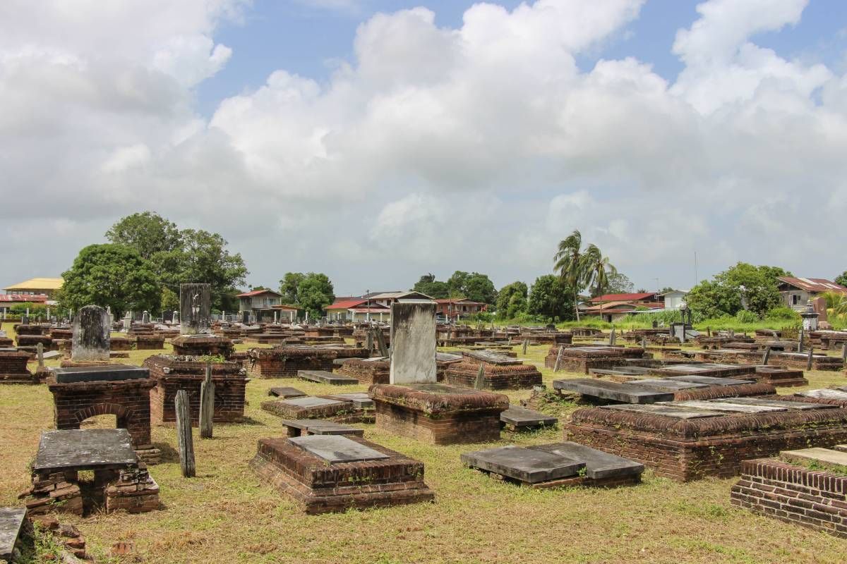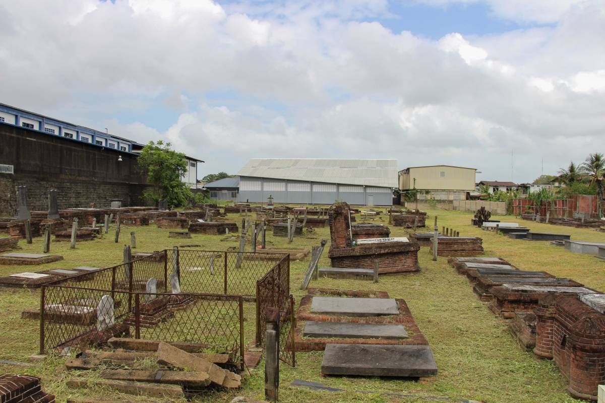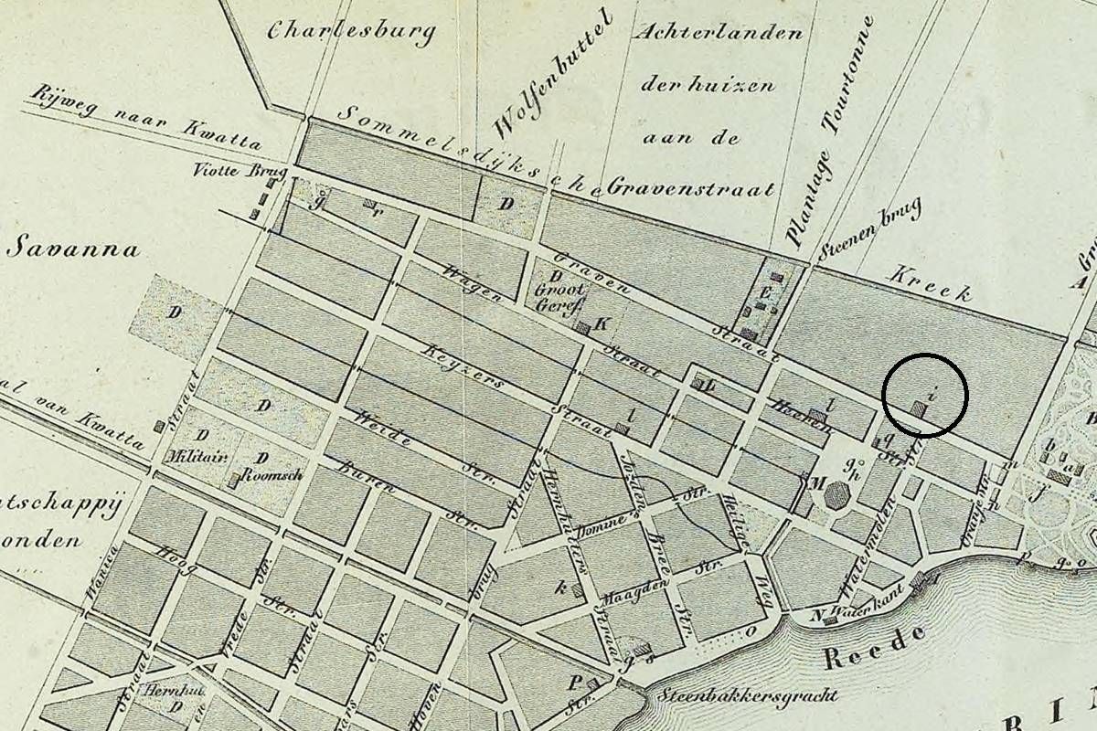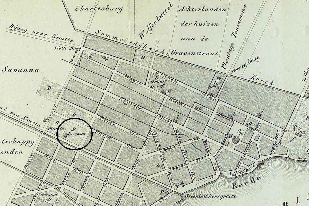
District Paramaribo

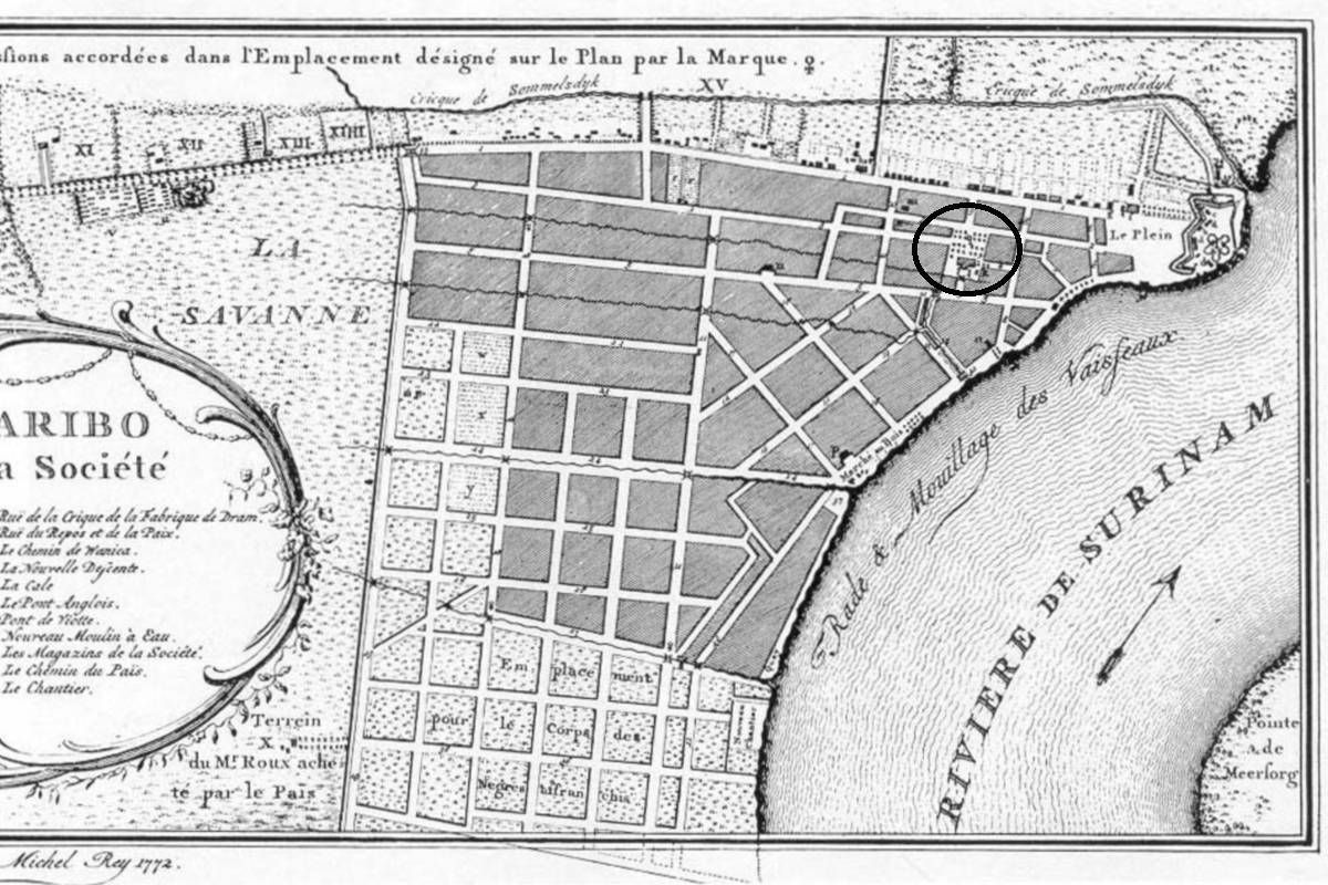
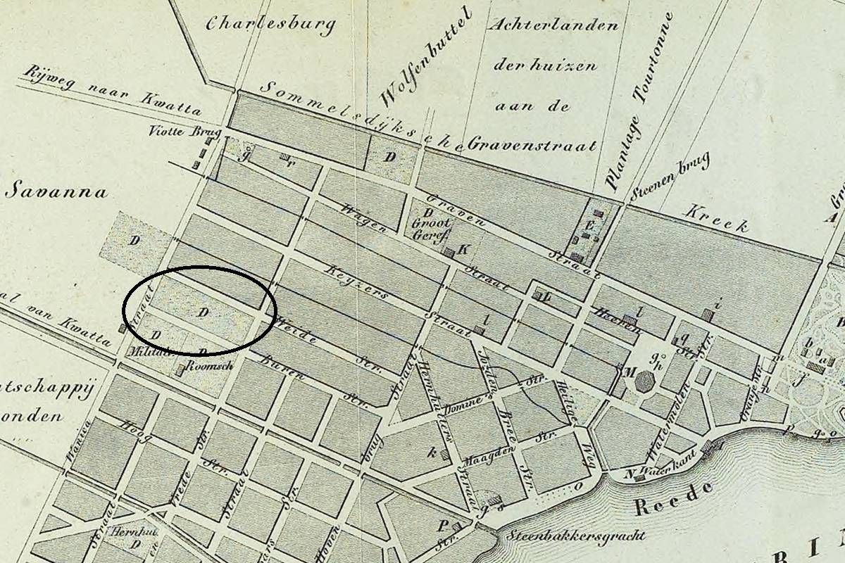
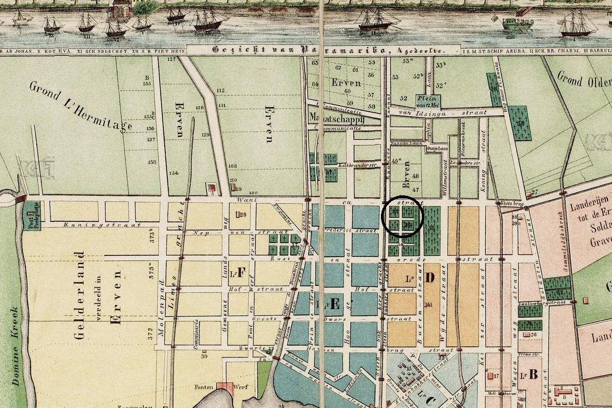
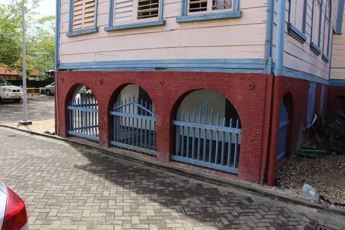
Soldatenkerkhof

ID

SUR-009

Plaats

Paramaribo

Adres

Fred Derbystraat

Locatie

5°49'44.4"N 55°09'56.9"W

Opp. (m2)

Denominatie

Gouvernement

Eigenaar

Gouvernement

In gebruik

1750

Gebruik tot

1873

Bestaat nog

Nee

Informatie

Vh. Rust en Vredestraat

Oranjetuin

ID

SUR-003

Plaats

Paramaribo

Adres

Kerkplein

Locatie

5°49'37.5"N 55°09'19.4"W

Opp. (m2)

Denominatie

Hervormd

Eigenaar

Hervormd kerk

In gebruik

1690

Gebruik tot

1801

Bestaat nog

Nee

Informatie

Er is tot nu toe geen bewijs dat mensen werden begraven in de vorige kerk (1814-1821), die door brand werd verwoest.

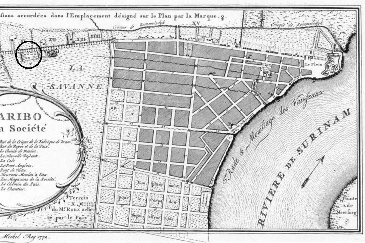
Portugees - Oud

ID

SUR-007

Plaats

Paramaribo

Adres

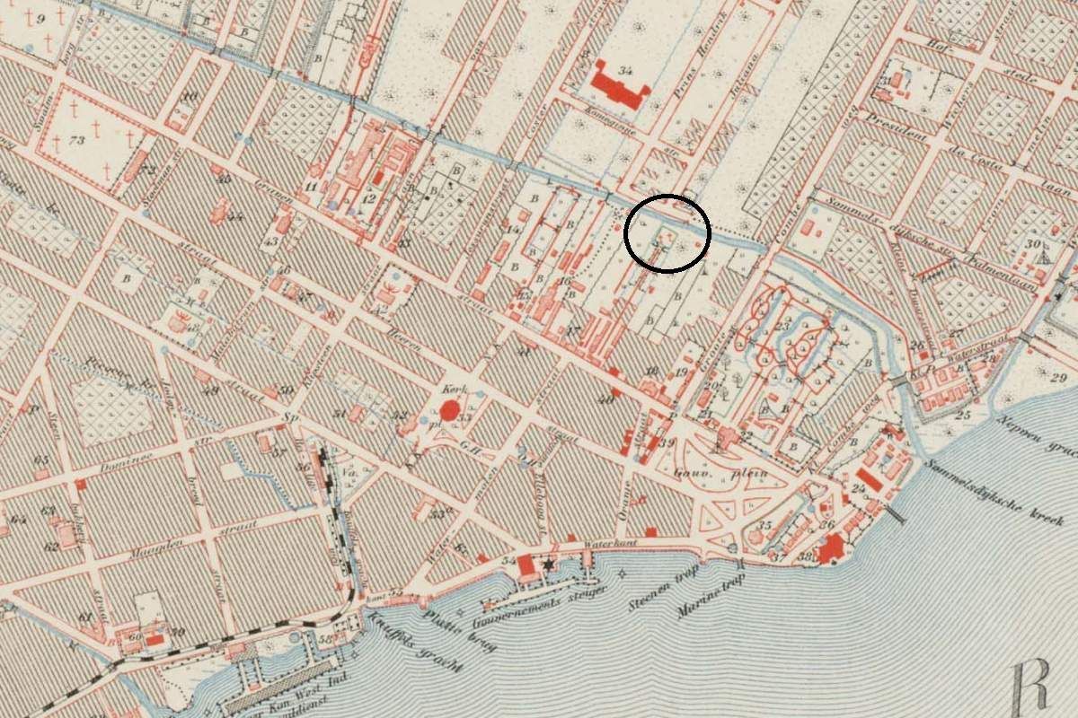
Kwattaweg

Locatie

5°50'05.3"N 55°10'02.5"W

Opp. (m2)

Denominatie

Joods

Eigenaar

Joodse gemeenschap

In gebruik

1715

Gebruik tot

1892

Bestaat nog

Nee

Informatie


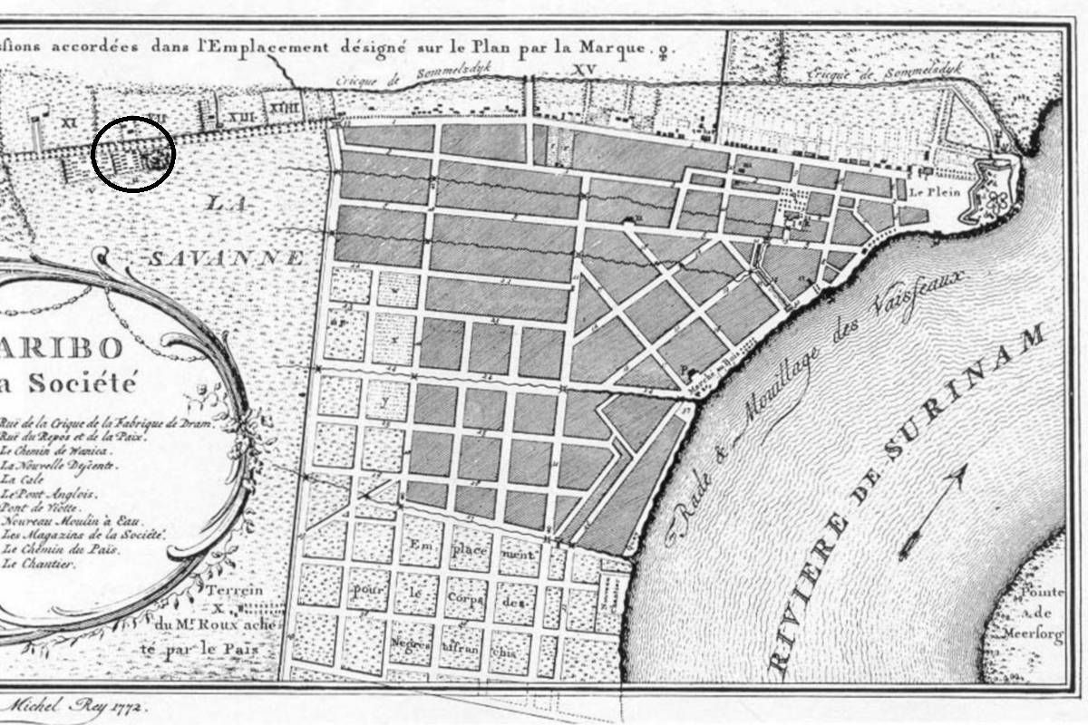
Hoogduits - Oud

ID

SUR-006

Plaats

Paramaribo

Adres

Kwattaweg

Locatie

5°50'09.5"N 55°10'14.2"W

Opp. (m2)

Denominatie

Joods

Eigenaar

Joodse gemeenschap

In gebruik

1715

Gebruik tot

1892

Bestaat nog

Ja

Informatie


Matrozenkerkhof

ID

SUR-010

Plaats

Paramaribo

Adres

Fred Derbystraat

Locatie

5°49'40.7"N 55°09'58.9"W

Opp. (m2)

Denominatie

Gouvernement

Eigenaar

Gouvernement

In gebruik

1750

Gebruik tot

1873

Bestaat nog

Nee

Informatie

Vh. Rust en Vredestraat

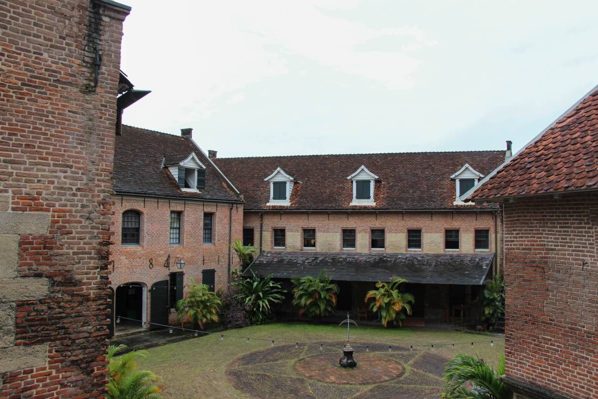
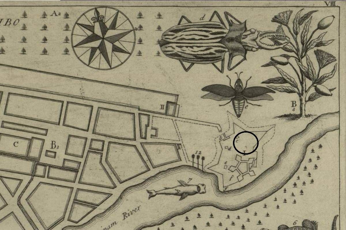
Fort Zeelandia - Binnenfort

ID

SUR-001

Plaats

Paramaribo

Adres

Waterkant

Locatie

5°49'30.7"N 55°08'59.2"W

Opp. (m2)

Denominatie

Gouvernement

Eigenaar

In gebruik

1667

Gebruik tot

Bestaat nog

Nee

Informatie

Fort Zeelandia - Buitenfort

ID

SUR-002

Plaats

Paramaribo

Adres

Waterkant

Locatie

5°49'30.7"N 55°08'59.2"W

Opp. (m2)

Denominatie

Gouvernement

Eigenaar

In gebruik

1667

Gebruik tot

1799

Bestaat nog

Nee

Informatie


Armenbegraafplaats (I)

ID

SUR-004

Plaats

Paramaribo

Adres

Wagenwegstraat/Klipstenenstraat

Locatie

5°49'41.1"N 55°09'26.1"W

Opp. (m2)

Denominatie

Gouvernement

Eigenaar

Hervormd kerk

In gebruik

1690

Gebruik tot

1750

Bestaat nog

Nee

Informatie


'Vrije lieden' begraafplaats

ID

SUR-011

Plaats

Paramaribo

Adres

Fred Derbystraat

Locatie

5°49'36.3"N 55°10'01.8"W

Opp. (m2)

Denominatie

Gouvernement

Eigenaar

Gouvernement

In gebruik

1750

Gebruik tot

1873

Bestaat nog

Nee

Informatie

Vh. Rust en Vredestraat

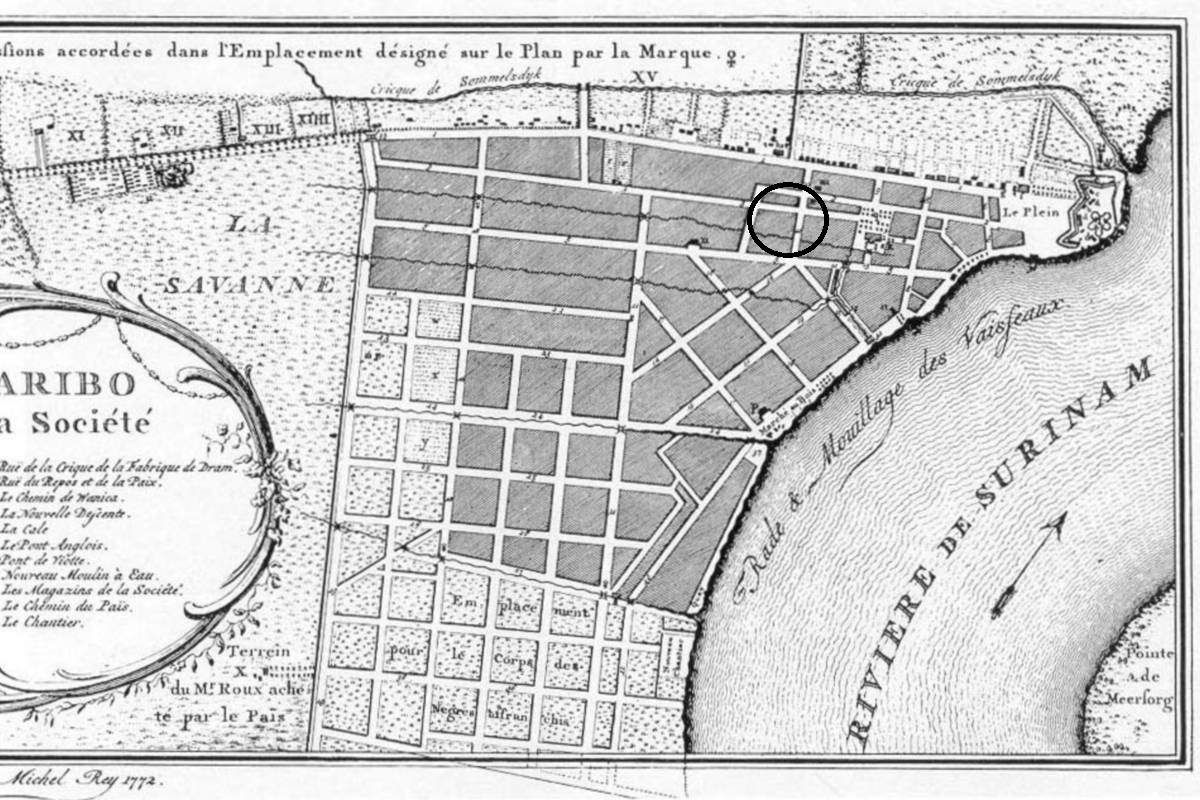
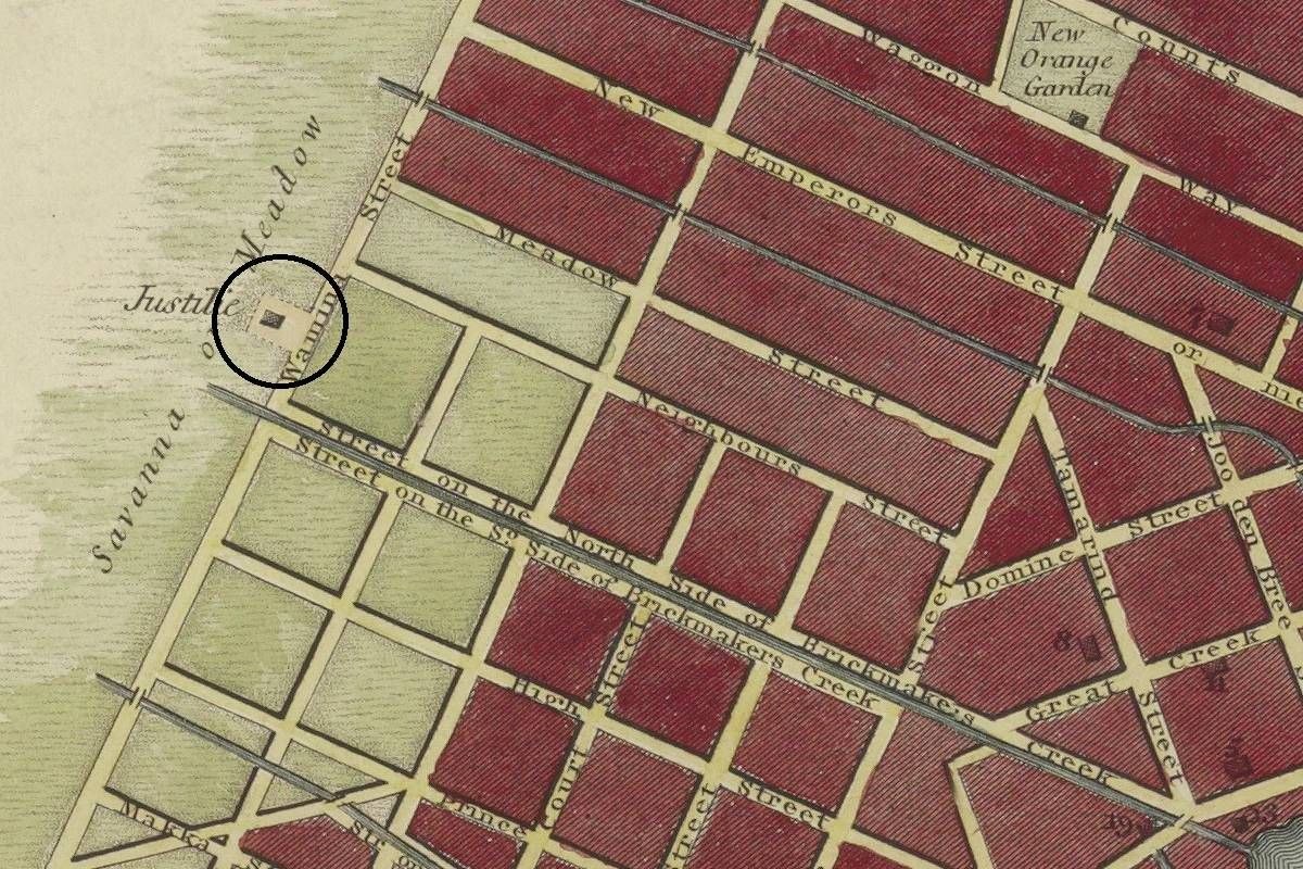
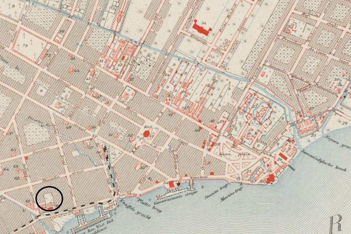
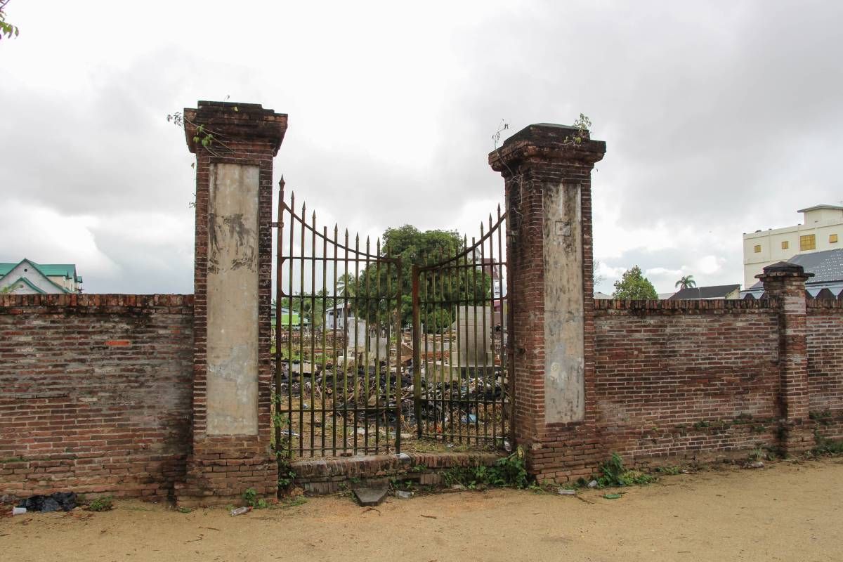
Justitieplaats

ID

SUR-012

Plaats

Paramaribo

Adres

J.A. Pengelstraat

Locatie

5°49'45.2"N 55°10'07.8"W

Opp. (m2)

Denominatie

Gouvernement

Eigenaar

Gouvernement

In gebruik

1760

Gebruik tot

1821 ong.

Bestaat nog

Nee

Informatie

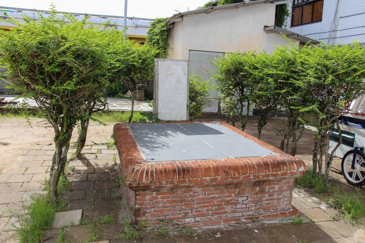
Hoewel het officieel geen begraafplaats was, was het gebruikelijk dat overblijfselen werden begraven onder een galg, soms in een put.

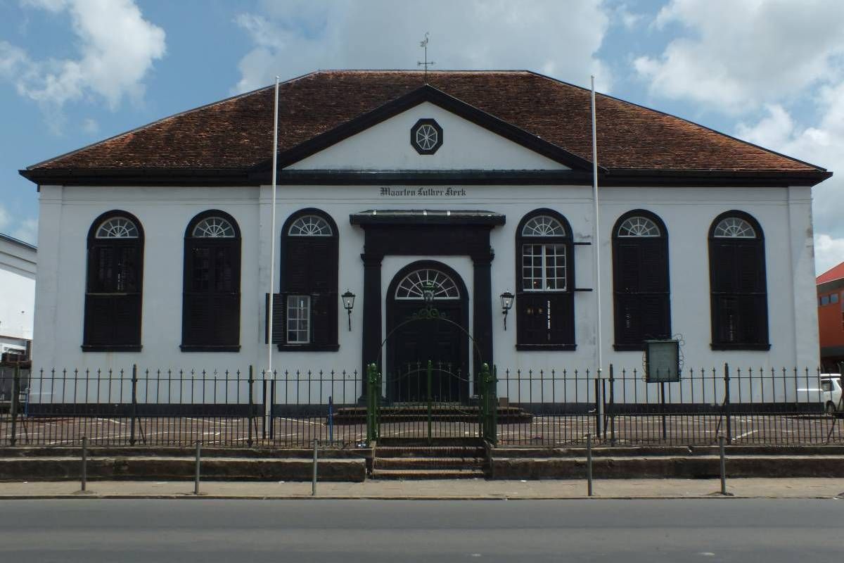
Lutherse kerk

ID

SUR-013

Plaats

Paramaribo

Adres

Waterkant

Locatie

5°49'25.2"N 55°09'34.2"W

Opp. (m2)

Denominatie

Luthers

Eigenaar

Lutherse kerk

In gebruik

1750

Gebruik tot

18xx

Bestaat nog

Ja

Informatie


Luthers kerkhof

ID

SUR-015

Plaats

Paramaribo

Adres

Steenbakkerijstraat

Locatie

5°49'27.3"N 55°09'34.6"W

Opp. (m2)

Denominatie

Luthers

Eigenaar

Lutherse kerk

In gebruik

1756

Gebruik tot

189x

Bestaat nog

Nee

Informatie

Achter de kerk zijn enkele platen zichtbaar in de bestrating. Waarschijnlijk afkomstig van het voormalige kerkhof achter de kerk.

Nieuwe Oranjetuin

ID

SUR-014

Plaats

Paramaribo

Adres

Dr. J.F. Nassylaan

Locatie

5°49'50.2"N 55°09'38.8"W

Opp. (m2)

Denominatie

Gouvernement

Eigenaar

Gouvernement

In gebruik

1756

Gebruik tot

1961

Bestaat nog

Ja

Informatie

Ook wel 'Steenen kerkhof'.

Gottesacker

ID

SUR-016

Plaats

Paramaribo

Adres

Steenbakkerijstraat

Locatie

5°49'31.6"N 55°09'39.5"W

Opp. (m2)

Denominatie

EBG

Eigenaar

EBG

In gebruik

1761

Gebruik tot

1776

Bestaat nog

Ja

Informatie


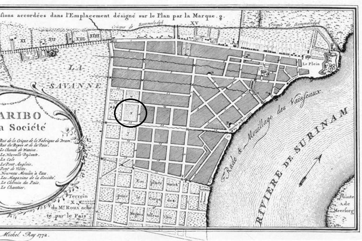
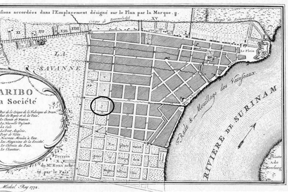
Armenbegraafplaats (II)

ID

SUR-008

Plaats

Paramaribo

Adres

Savanne

Locatie

Opp. (m2)

Denominatie

Eigenaar

In gebruik

1724

Gebruik tot

1853 approx.

Bestaat nog

Nee

Informatie

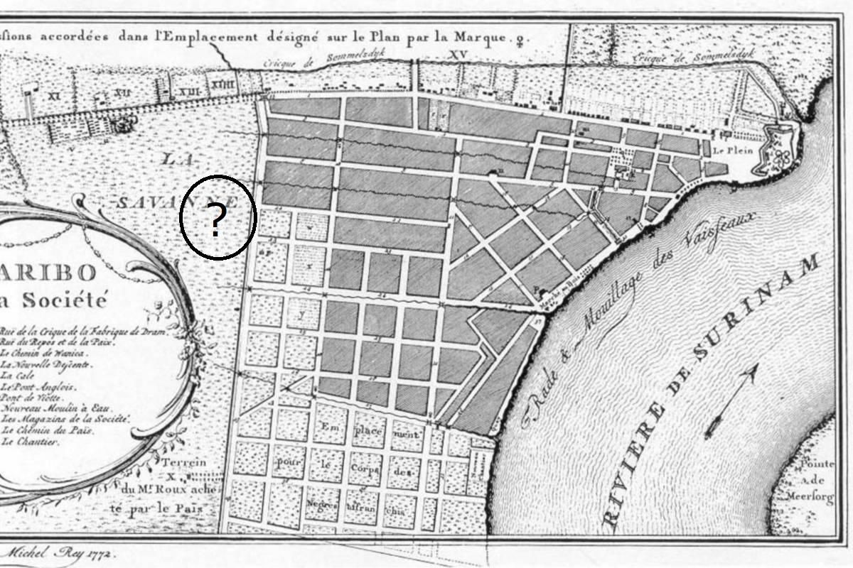
Exacte locatie nog onduidelijk.

Maria's Rust

ID

SUR-017

Plaats

Paramaribo

Adres

Nieuwe Dominéstraat

Locatie

5°49'24.9"N 55°10'08.8"W

Opp. (m2)

Denominatie

EBG

Eigenaar

EBG

In gebruik

1779

Gebruik tot

1892

Bestaat nog

Nee

Informatie

Kitty's Hof

ID

SUR-018

Plaats

Paramaribo

Adres

Henck Arronstraat

Locatie

5°49'58.3"N 55°09'41.1"W

Opp. (m2)

Denominatie

Gouvernement

Eigenaar

Gouvernement

In gebruik

1801

Gebruik tot

1864

Bestaat nog

Nee

Informatie

Ook 'Nieuwe kerkhof'.

Nieuwe Hoogduitse begraafplaats

ID

SUR-019

Plaats

Paramaribo

Adres

Kwattaweg

Locatie

5°50'09.4"N 55°10'14.0"W

Opp. (m2)

Denominatie

Joods

Eigenaar

Joodse gemeenschap

In gebruik

1825

Gebruik tot

Bestaat nog

Ja

Informatie


Nieuwe Portugees-Joodse begraafplaats

ID

SUR-025

Plaats

Paramaribo

Adres

Kwattaweg

Locatie

5°50'05.3"N 55°10'02.5"W

Opp. (m2)

Denominatie

Joods

Eigenaar

Joodse gemeenschap

In gebruik

1868

Gebruik tot

Bestaat nog

Informatie


RK kerkhof priesters

ID

SUR-020

Plaats

Paramaribo

Adres

Henck Arronstraat

Locatie

5°49'44.9"N 55°09'13.4"W

Opp. (m2)

Denominatie

RK

Eigenaar

RK kerk

In gebruik

1826

Gebruik tot

1852

Bestaat nog

Nee

Informatie


RK Rust en Vrede begraafplaats

ID

SUR-021

Plaats

Paramaribo

Adres

Fred Derbystraat

Locatie

5°49'40.2"N 55°10'00.1"W

Opp. (m2)

Denominatie

RK

Eigenaar

RK kerk

In gebruik

1840

Gebruik tot

1917

Bestaat nog

Nee

Informatie

Vh. Rust en Vredestraat

(Willem) Jacobus Rust

ID

SUR-023

Plaats

Paramaribo

Adres

Paramaribo

Locatie

5°49'45.8"N 55°09'59.8"W

Opp. (m2)

Denominatie

Gouvernement

Eigenaar

Gouvernement

In gebruik

1856

Gebruik tot

1913

Bestaat nog

Nee

Informatie

Ook bekend als 's Lands kerkhof.

Tweede Nieuwe Kerkhof

ID

SUR-022

Plaats

Paramaribo

Adres

Dr. J.F. Nassylaan

Locatie

"5°49'50.9""N 55°09'36.7""W "

Opp. (m2)

Denominatie

Gouvernement

Eigenaar

Gouvernement

In gebruik

1842

Gebruik tot

1961

Bestaat nog

Ja

Informatie

Uitbreiding van Nieuwe Oranjetuin (Thalia-zijde)

Zusters van Roosendaal

ID

SUR-024

Plaats

Paramaribo

Adres

Locatie

5°49'47.6"N 55°09'06.5"W

Opp. (m2)

Denominatie

RK

Eigenaar

Congregatie

In gebruik

1872

Gebruik tot

1994

Bestaat nog

Nee

Informatie


Barkau's Rust

ID

SUR-026

Plaats

Paramaribo

Adres

J.A. Pengelstraat

Locatie

5°49'43.7"N 55°10'04.2"W

Opp. (m2)

Denominatie

Gouvernement

Eigenaar

Gouvernement

In gebruik

1873

Gebruik tot

1917

Bestaat nog

Nee

Informatie

Ook bekend als 'Nieuwe Kerkhof'.

Christina's Rust

ID

SUR-027

Plaats

Paramaribo

Adres

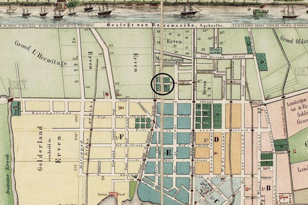
Drambrandersgracht

Locatie

Drambrandersgracht

Opp. (m2)

Denominatie

EBG

Eigenaar

EBG

In gebruik

1879

Gebruik tot

1892

Bestaat nog

Nee

Informatie


Crypte RK priesters

ID

SUR-028

Plaats

Paramaribo

Adres

Henck Arronstraat

Locatie

5°49'44.5"N 55°09'13.6"W

Opp. (m2)

Denominatie

RK

Eigenaar

RK kerk

In gebruik

1883

Gebruik tot

Bestaat nog

Ja

Informatie


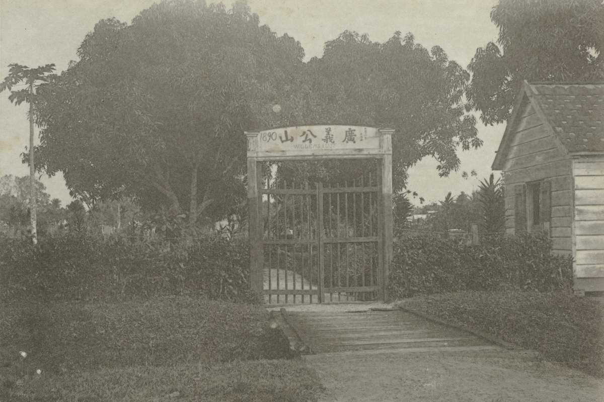
Willem's Rust

ID

SUR-029

Plaats

Paramaribo

Adres

J.A. Pengelstraat

Locatie

5°49'43.1"N 55°10'04.8"W

Opp. (m2)

Denominatie

Chinees

Eigenaar

In gebruik

1890

Gebruik tot

1917

Bestaat nog

Nee

Informatie

Eerste Chinese begraafplaats

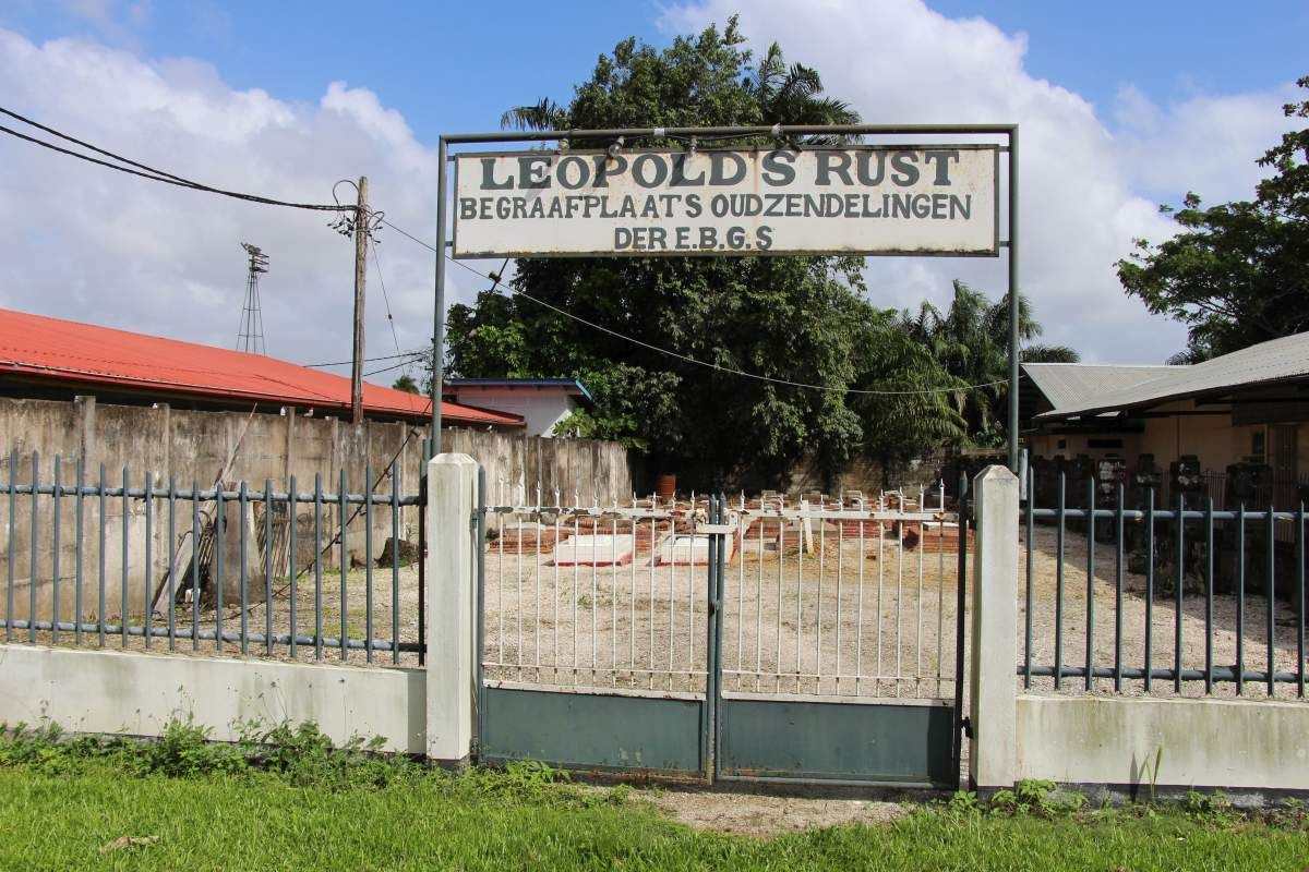
Leopold's Rust

ID

SUR-030

Plaats

Paramaribo

Adres

Dr. Sophie Redmondstraat

Locatie

5°49'50.9"N 55°10'14.7"W

Opp. (m2)

Denominatie

EBG

Eigenaar

EBG

In gebruik

1895

Gebruik tot

1954

Bestaat nog

Ja

Informatie

Gedeeltelijk geruimd.

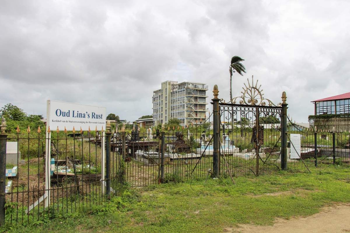
Oud Lina's Rust

ID

SUR-031

Plaats

Paramaribo

Adres

J.A. Pengelstraat

Locatie

5°49'46.1"N 55°10'06.0"W

Opp. (m2)

Denominatie

Hervormd

Eigenaar

Stuiversvereniging

In gebruik

1898

Gebruik tot

Bestaat nog

Ja

Informatie

Ook bekend als 'Lina's Rust'

Veldrust

ID

SUR-033

Plaats

Paramaribo

Adres

Dr. Sophie Redmondstraat

Locatie

5°50'01.4"N 55°10'33.6"W

Opp. (m2)

Denominatie

Eigenaar

Gouvernement

In gebruik

1912

Gebruik tot

1989

Bestaat nog

Nee

Informatie

Ook bekend als: Lanti Ber'pe / Pkintini

Marius' Rust

ID

SUR-034

Plaats

Paramaribo

Adres

Dr. Sophie Redmondstraat

Locatie

5°50'02.4"N 55°10'41.0"W

Opp. (m2)

Denominatie

EBG

Eigenaar

EBG

In gebruik

1913

Gebruik tot

Bestaat nog

Ja

Informatie


Oud Vrede en Arbeid

ID

SUR-035

Plaats

Paramaribo

Adres

Dr. Sophie Redmondstraat

Locatie

5°50'05.1"N 55°10'31.6"W

Opp. (m2)

Denominatie

Luthers

Eigenaar

In gebruik

1915

Gebruik tot

19xx

Bestaat nog

Informatie

Ook bekend als 'Vrede en Arbeid'

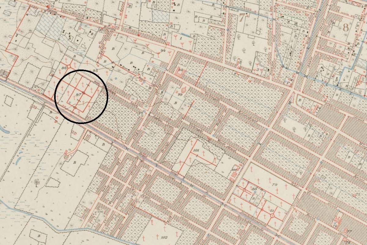
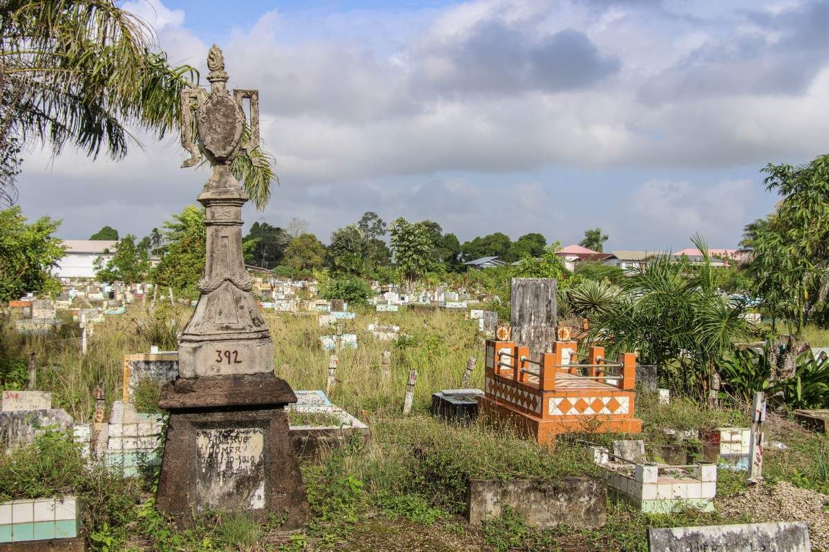
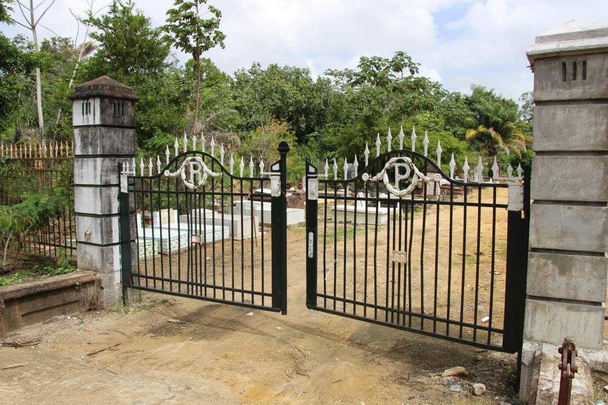
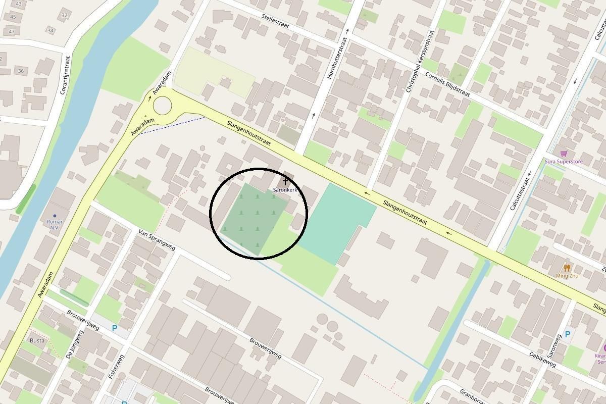
Kerkhof Saron

ID

SUR-032

Plaats

Paramaribo

Adres

Slangenhoutstraat

Locatie

5°48'17.8"N 55°10'48.1"W

Opp. (m2)

Denominatie

EBG

Eigenaar

EBG

In gebruik

1900

Gebruik tot

Bestaat nog

Ja

Informatie


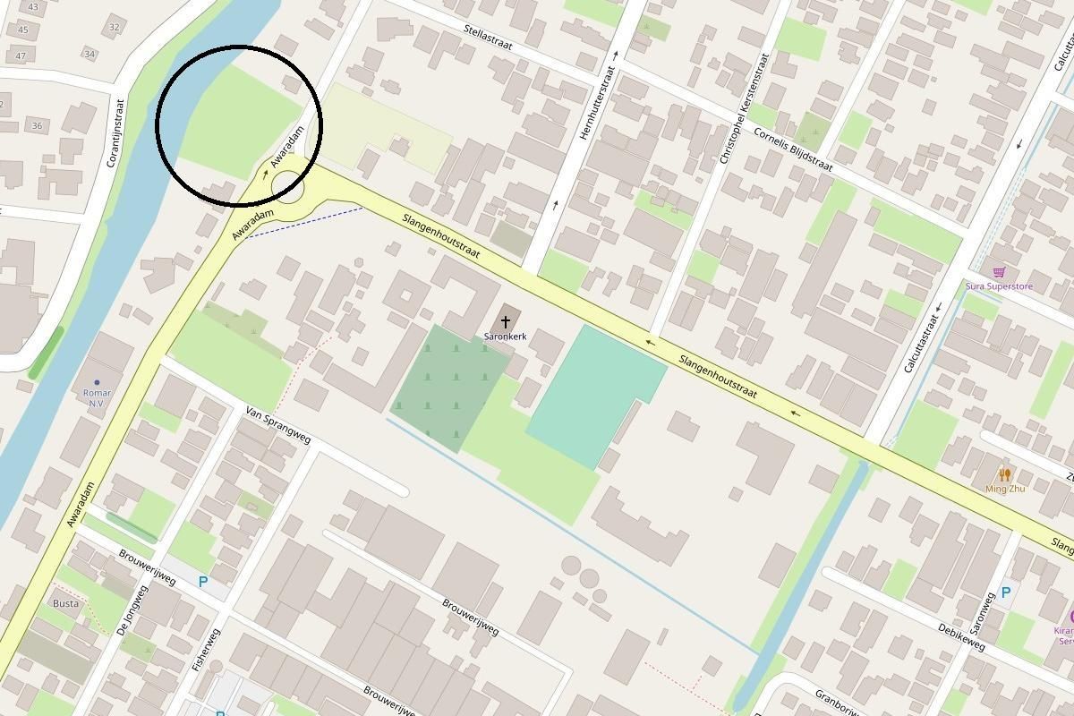
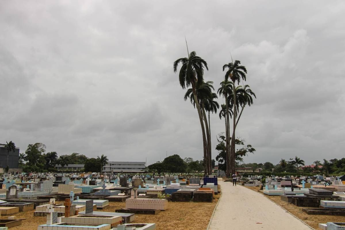
Openbare begraafplaats Saron

ID

SUR-037

Plaats

Paramaribo

Adres

Awaradam

Locatie

5°48'22.5"N 55°10'52.4"W

Opp. (m2)

Denominatie

Openbaar

Eigenaar

In gebruik

1927

Gebruik tot

Bestaat nog

Ja

Informatie


RK begraafplaats

ID

SUR-036

Plaats

Paramaribo

Adres

Schietbaanweg

Locatie

5°50'24.2"N 55°09'14.8"W

Opp. (m2)

Denominatie

RK

Eigenaar

In gebruik

1917

Gebruik tot

Bestaat nog

Ja

Informatie

Oorspronkelijk ingang aan de Prinsessestraat.

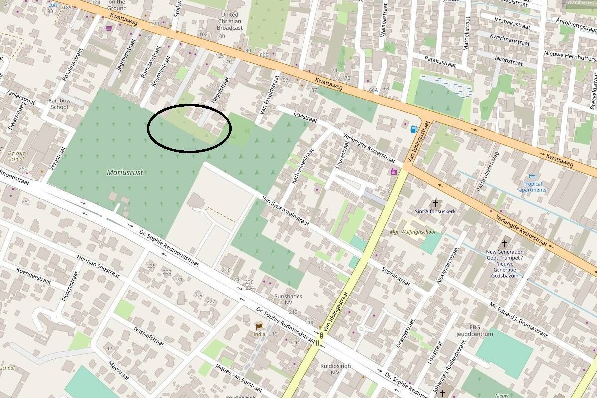
SIV (oud)

ID

SUR-038

Plaats

Paramaribo

Adres

Via Nagelstraat?

Locatie

5°50'09.0"N 55°10'35.1"W

Opp. (m2)

Denominatie

Moslim

Eigenaar

SIV

In gebruik

1930

Gebruik tot

onbekend

Bestaat nog

Ja

Informatie


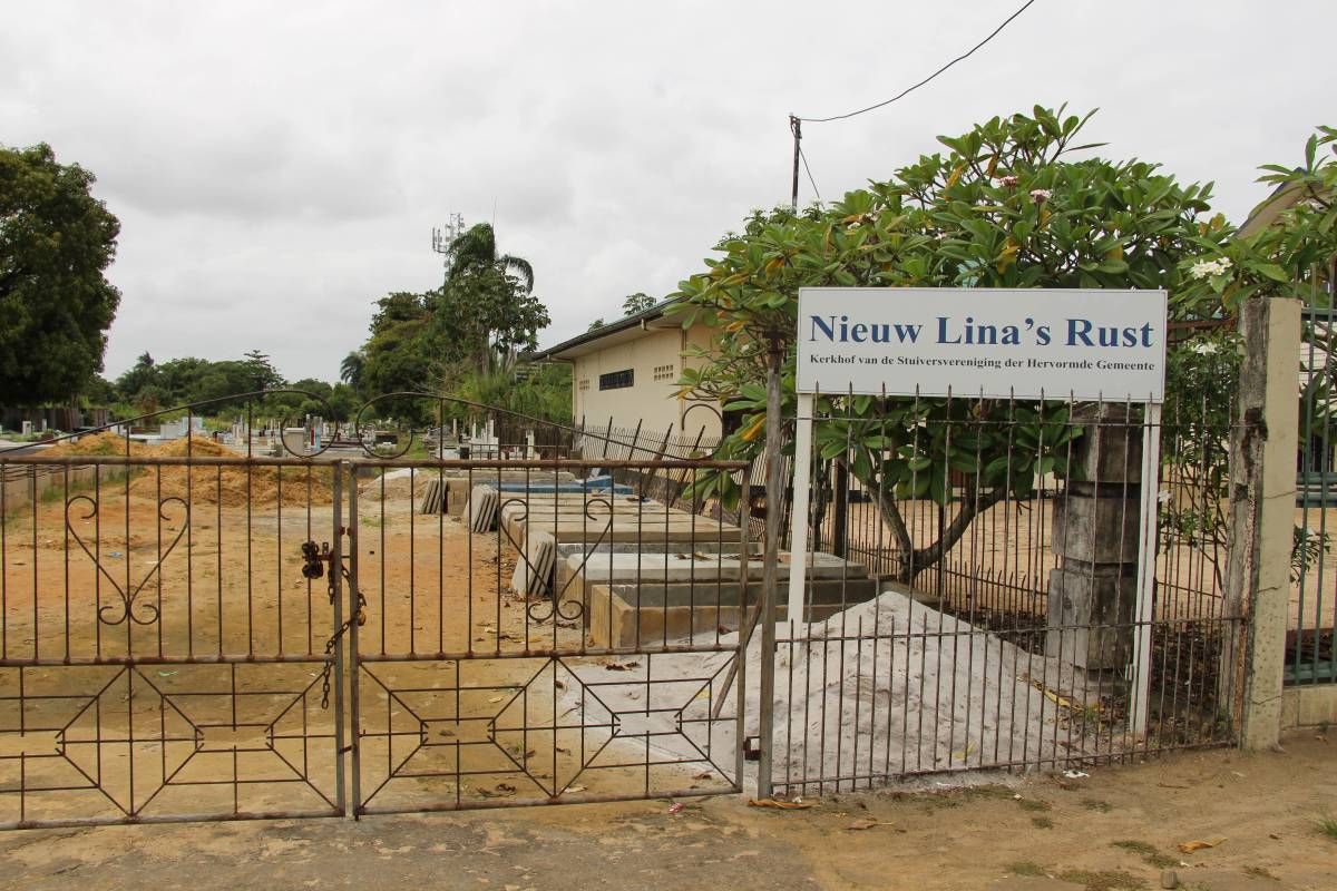
Nieuw Lina's Rust

ID

SUR-039

Plaats

Paramaribo

Adres

J.A. Pengelstraat

Locatie

5°49'46.2"N 55°10'06.7"W

Opp. (m2)

Denominatie

Hervormd

Eigenaar

Stuiversvereniging

In gebruik

1940

Gebruik tot

Bestaat nog

Ja

Informatie

Vh. Wanicatraat

Fa Tjauw Koen Song

ID

SUR-040

Plaats

Paramaribo

Adres

Schietbaanweg

Locatie

5°50'24.6"N 55°09'14.0"W

Opp. (m2)

Denominatie

Chinees

Eigenaar

In gebruik

1946

Gebruik tot

Bestaat nog

Ja

Informatie