District Paramaribo

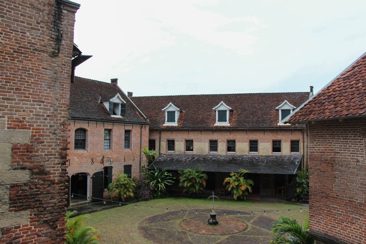
Fort Zeelandia - Binnenfort

ID

SUR-001
Place
Paramaribo
Address
Waterkant
Location
5°49'30.7"N 55°08'59.2"W
Size (m2)
Denomination
Gouvernement

Owner

In use

1667

Out of use

Still exists

No

Information

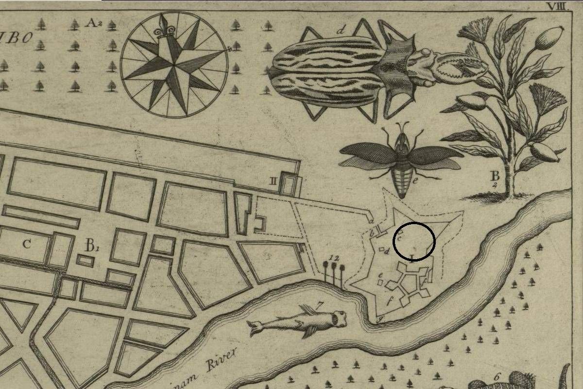
Fort Zeelandia - Buitenfort

ID

SUR-002
Place
Paramaribo
Address
Waterkant
Location
5°49'30.7"N 55°08'59.2"W
Size (m2)
Denomination
Gouvernement

Owner

In use

1667

Out of use

1799

Still exists

No

Information

Presumed location of the cemetery.

Orangegarden

ID

SUR-003
Place
Paramaribo
Address
Kerkplein
Location
5°49'37.5"N 55°09'19.4"W
Size (m2)
Denomination
Reformed

Owner

Reformed Church

In use

1690

Out of use

1801

Still exists

No

Information

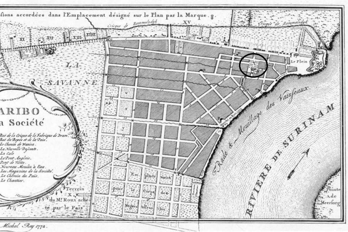
Dutch: 'Oranjetuin'. There is no evidence so far people were buried inside the previous church (1814-1821), which was destroyed by fire.

Poor men's cemetery (I)

ID

SUR-004
Place
Paramaribo
Address
Wagenwegstraat/Klipstenenstraat
Location
5°49'41.1"N 55°09'26.1"W
Size (m2)
Denomination
Gouvernement

Owner

Hervormde kerk

In use

1690

Out of use

1750

Still exists

No

Information

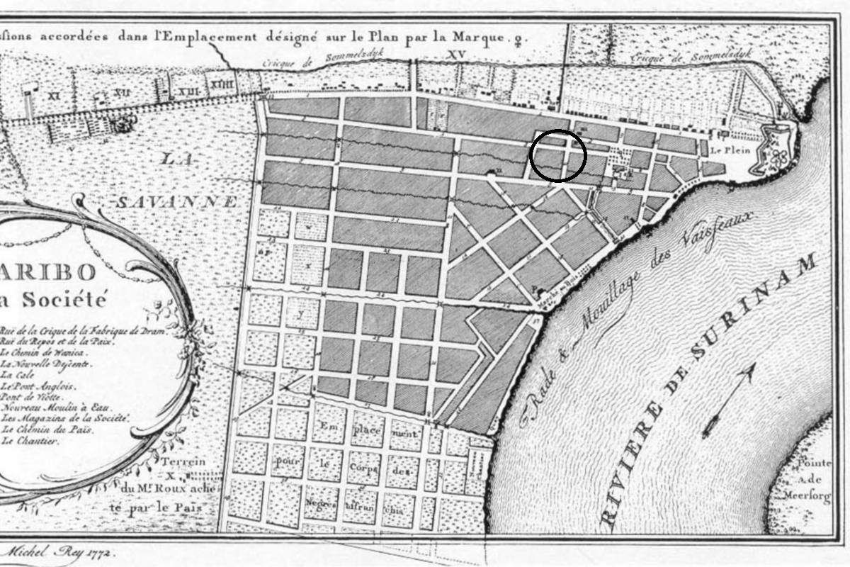
Dutch: Armenbegraafplaats

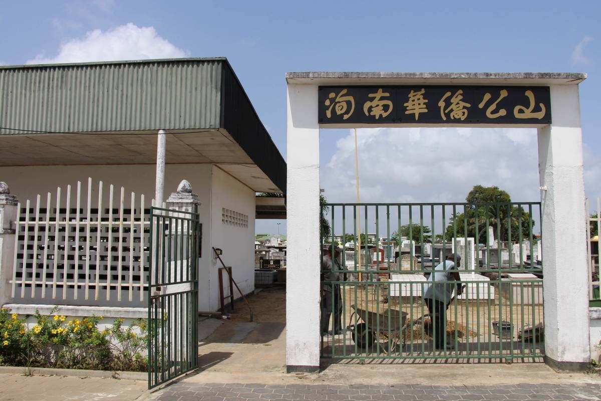
Fa Tjauw Koen Song

ID

SUR-040
Place
Paramaribo
Address
Schietbaanweg
Location
5°50'24.6"N 55°09'14.0"W
Size (m2)
Denomination
Chinese

Owner

In use

1946

Out of use

Still exists

Yes

Information

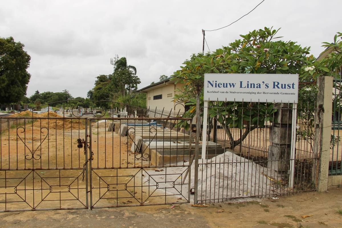
New Lina's Rust

ID

SUR-039
Place
Paramaribo
Address
J.A. Pengelstraat
Location
5°49'46.2"N 55°10'06.7"W
Size (m2)
Denomination
Reformed

Owner

Stuiversvereniging

In use

1940

Out of use

Still exists

Yes

Information

Previous Wanicastraat.

SIV (old)

ID

SUR-038
Place
Paramaribo
Address
Via Nagelstraat?
Location
5°50'09.0"N 55°10'35.1"W
Size (m2)
Denomination
Muslim

Owner

SIV

In use

1930

Out of use

unknown

Still exists

Yes

Information


RC Cemetery

ID

SUR-036
Place
Paramaribo
Address
Schietbaanweg
Location
5°50'24.2"N 55°09'14.8"W
Size (m2)
Denomination
R.C.

Owner

In use

1917

Out of use

Still exists

Yes

Information

Original entrance at the Prinsessestraat.

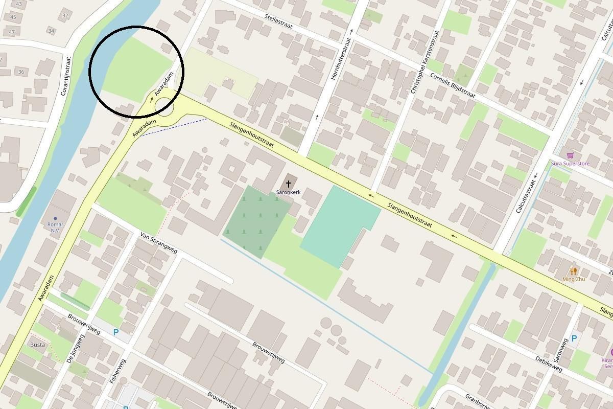
Public Cemetery Saron

ID

SUR-037
Place
Paramaribo
Address
Awaradam
Location
5°48'22.5"N 55°10'52.4"W
Size (m2)
Denomination
None

Owner

In use

1927

Out of use

Still exists

Yes

Information


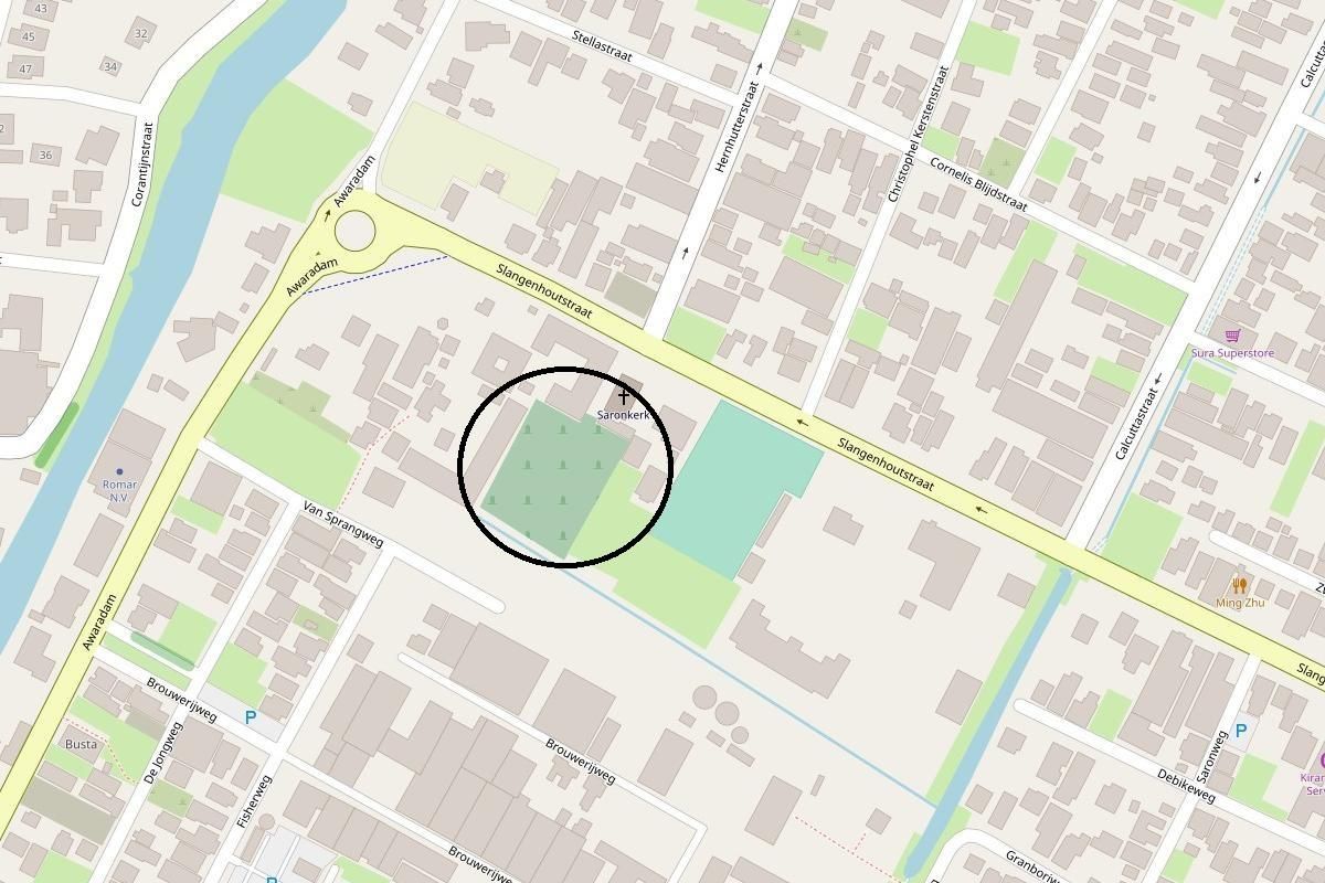
Churchyard Saron

ID

SUR-032
Place
Paramaribo
Address
Slangenhoutstraat
Location
5°48'17.8"N 55°10'48.1"W
Size (m2)
Denomination
EBG

Owner

EBG

In use

1900

Out of use

Still exists

Yes

Information


Old Vrede en Arbeid

ID

SUR-035
Place
Paramaribo
Address
Dr. Sophie Redmondstraat
Location
5°50'05.1"N 55°10'31.6"W
Size (m2)
Denomination
Lutheran

Owner

In use

1915

Out of use

19xx

Still exists

Yes

Information


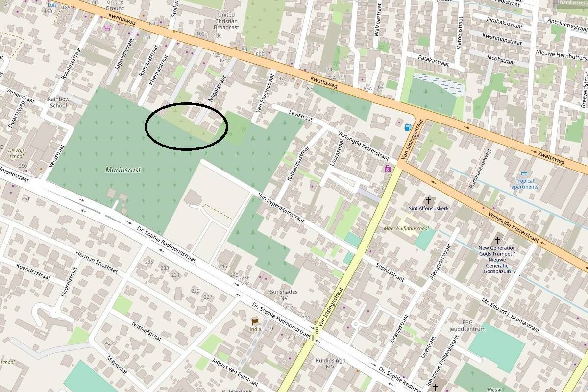
Marius' Rust

ID

SUR-034
Place
Paramaribo
Address
Dr. Sophie Redmondstraat
Location
5°50'02.4"N 55°10'41.0"W
Size (m2)
Denomination
EBG

Owner

EBG

In use

1913

Out of use

Still exists

Yes

Information


Veldrust

ID

SUR-033
Place
Paramaribo
Address
Dr. Sophie Redmondstraat
Location
5°50'01.4"N 55°10'33.6"W
Size (m2)
Denomination
None

Owner

Gouvernement

In use

1912

Out of use

1989

Still exists

No

Information

Also known as: Lanti Ber'pe / Pkintini

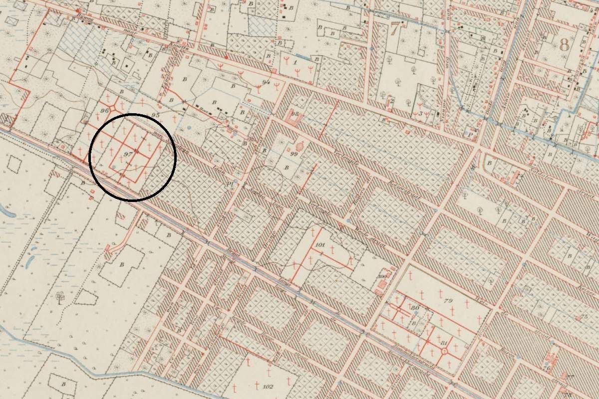
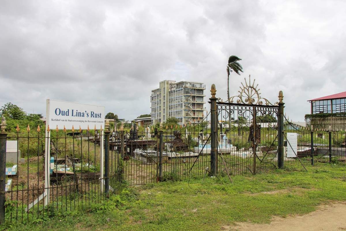
Old Lina's Rust

ID

SUR-031
Place
Paramaribo
Address
J.A. Pengelstraat
Location
5°49'46.1"N 55°10'06.0"W
Size (m2)
Denomination
Reformed

Owner

Stuiversvereniging

In use

1898

Out of use

Still exists

Yes

Information

Also known as 'Lina's Rust'. (Prev. Wanicastraat)

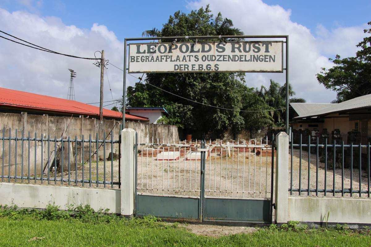
Leopold's Rust

ID

SUR-030
Place
Paramaribo
Address
Dr. Sophie Redmondstraat
Location
5°49'50.9"N 55°10'14.7"W
Size (m2)
Denomination
EBG

Owner

EBG

In use

1895

Out of use

1954

Still exists

Yes

Information

(prev. Steenbakkersgracht) Partly cleared.

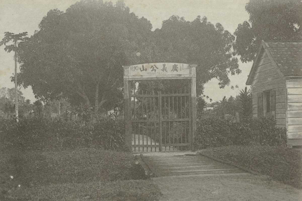
Willem's Rust

ID

SUR-029
Place
Paramaribo
Address
J.A. Pengelstraat
Location
5°49'43.1"N 55°10'04.8"W
Size (m2)
Denomination
Chinese

Owner

In use

1890

Out of use

1917

Still exists

No

Information

First Chinese Cemetery. (Prev. Wanicastraat)

Crypt R.C. Priests

ID

SUR-028
Place
Paramaribo
Address
Henck Arronstraat
Location
5°49'44.5"N 55°09'13.6"W
Size (m2)
Denomination
R.C.

Owner

Church

In use

1883

Out of use

Still exists

Yes

Information


Christina's Rust

ID

SUR-027
Place
Paramaribo
Address
Drambrandersgracht
Location
5°49'35.5"N 55°10'20.4"W
Size (m2)
Denomination
EBG

Owner

EBG

In use

1879

Out of use

1892

Still exists

No

Information


Barkau's Rust

ID

SUR-026
Place
Paramaribo
Address
J.A. Pengelstraat
Location
5°49'43.7"N 55°10'04.2"W
Size (m2)
Denomination
Gouvernement

Owner

Gouvernement

In use

1873

Out of use

1917

Still exists

No

Information

Also known as 'Nieuwe Kerkhof'. (Prev. Wanicastraat)

Sisters of Roosendaal

ID

SUR-024
Place
Paramaribo
Address
Location
5°49'47.6"N 55°09'06.5"W
Size (m2)
Denomination
R.C.

Owner

Congregation

In use

1872

Out of use

1994

Still exists

No

Information


Second New Churchyard

ID

SUR-022
Place
Paramaribo
Address
Dr. J.F. Nassylaan
Location
"5°49'50.9""N 55°09'36.7""W "
Size (m2)
Denomination
Gouvernement

Owner

Gouvernement

In use

1842

Out of use

1961

Still exists

Yes

Information

Expansion of New Orange Garden (Thalia side) Dutch: Tweede Nieuwe Kerkhof

(Willem) Jacobus Rust

ID

SUR-023
Place
Paramaribo
Address
Fred Derbystraat
Location
5°49'45.8"N 55°09'59.8"W
Size (m2)
Denomination
Gouvernement

Owner

Gouvernement

In use

1856

Out of use

1913

Still exists

No

Information

Dutch also: 's Lands kerkhof. (Prev. Rust en Vredestraat.

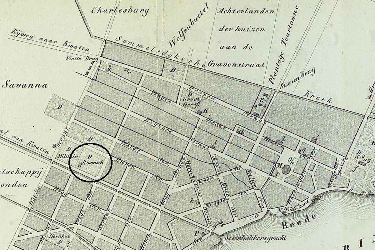
R.C. Rust en Vrede Cemetery

ID

SUR-021
Place
Paramaribo
Address
Fred Derbystraat
Location
5°49'40.2"N 55°10'00.1"W
Size (m2)
Denomination
R.C.

Owner

Church

In use

1840

Out of use

1917

Still exists

No

Information

Dutch: Kerkhof Rust en Vredestraat. Street prev. Rust en Vredestraat

Churchyard R.C. priests

ID

SUR-020
Place
Paramaribo
Address
Henck Arronstraat
Location
5°49'44.9"N 55°09'13.4"W
Size (m2)
Denomination
R.C.

Owner

Church

In use

1826

Out of use

1852

Still exists

No

Information


Sephardic - New

ID

SUR-025
Place
Paramaribo
Address
Kwattaweg
Location
5°50'05.3"N 55°10'02.5"W
Size (m2)
Denomination
Jewish

Owner

Jewish community

In use

1868

Out of use

Still exists

Yes

Information


Ashkenazic - New

ID

SUR-019
Place
Paramaribo
Address
Kwattaweg
Location
5°50'09.4"N 55°10'14.0"W
Size (m2)
Denomination
Jewish

Owner

Jewish community

In use

1825

Out of use

Still exists

Yes

Information


Kitty's Hof

ID

SUR-018
Place
Paramaribo
Address
Henck Arronstraat
Location
5°49'58.3"N 55°09'41.1"W
Size (m2)
Denomination
Gouvernement

Owner

Gouvernement

In use

1801

Out of use

1864

Still exists

No

Information

Also 'Nieuwe kerkhof'. (Prev. Gravenstraat)

Maria's Rust

ID

SUR-017
Place
Paramaribo
Address
Nieuwe Dominéstraat
Location
5°49'24.9"N 55°10'08.8"W
Size (m2)
Denomination
EBG

Owner

EBG

In use

1779

Out of use

1892

Still exists

No

Information

Poor men's cemetery (II)

ID

SUR-008
Place
Paramaribo
Address
Savanne
Location
Size (m2)
Denomination

Owner

In use

1724

Out of use

1853 approx.

Still exists

No

Information

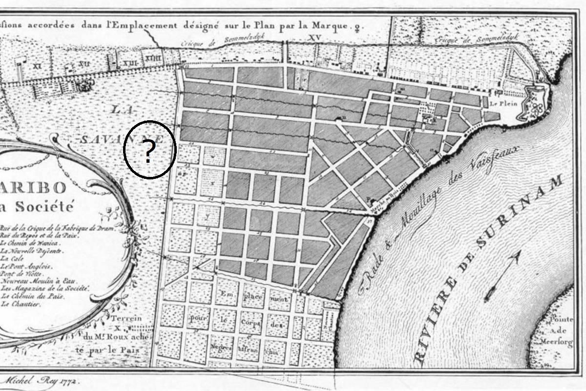
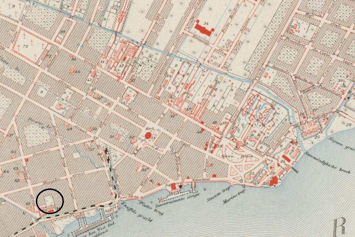
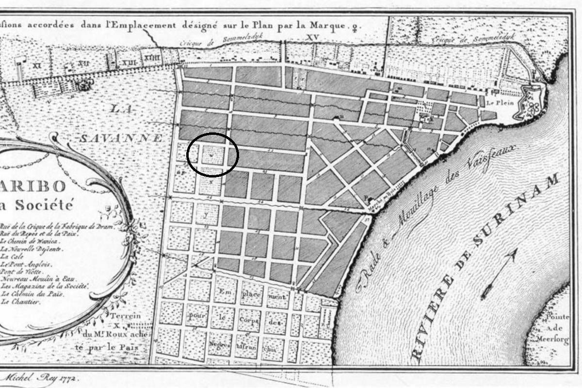
Dutch: Armenbegraafplaats. Precise location not clear yet.

Gottesacker

ID

SUR-016
Place
Paramaribo
Address
Steenbakkerijstraat
Location
5°49'31.6"N 55°09'39.5"W
Size (m2)
Denomination
EBG

Owner

EBG

In use

1761

Out of use

1776

Still exists

Yes

Information


New Orange garden

ID

SUR-014
Place
Paramaribo
Address
Dr. J.F. Nassylaan
Location
5°49'50.2"N 55°09'38.8"W
Size (m2)
Denomination
Gouvernement

Owner

Gouvernement

In use

1756

Out of use

1961

Still exists

Yes

Information

Also named 'Steenen kerkhof' ('Stone Churchyard')

Lutheran churchyard

ID

SUR-015
Place
Paramaribo
Address
Steenbakkerijstraat
Location
5°49'27.3"N 55°09'34.6"W
Size (m2)
Denomination
Lutheran

Owner

Church

In use

1756

Out of use

189x

Still exists

No

Information

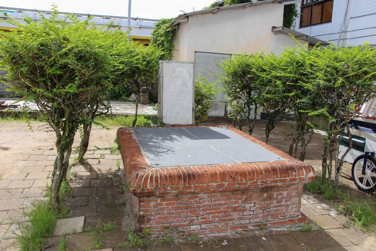
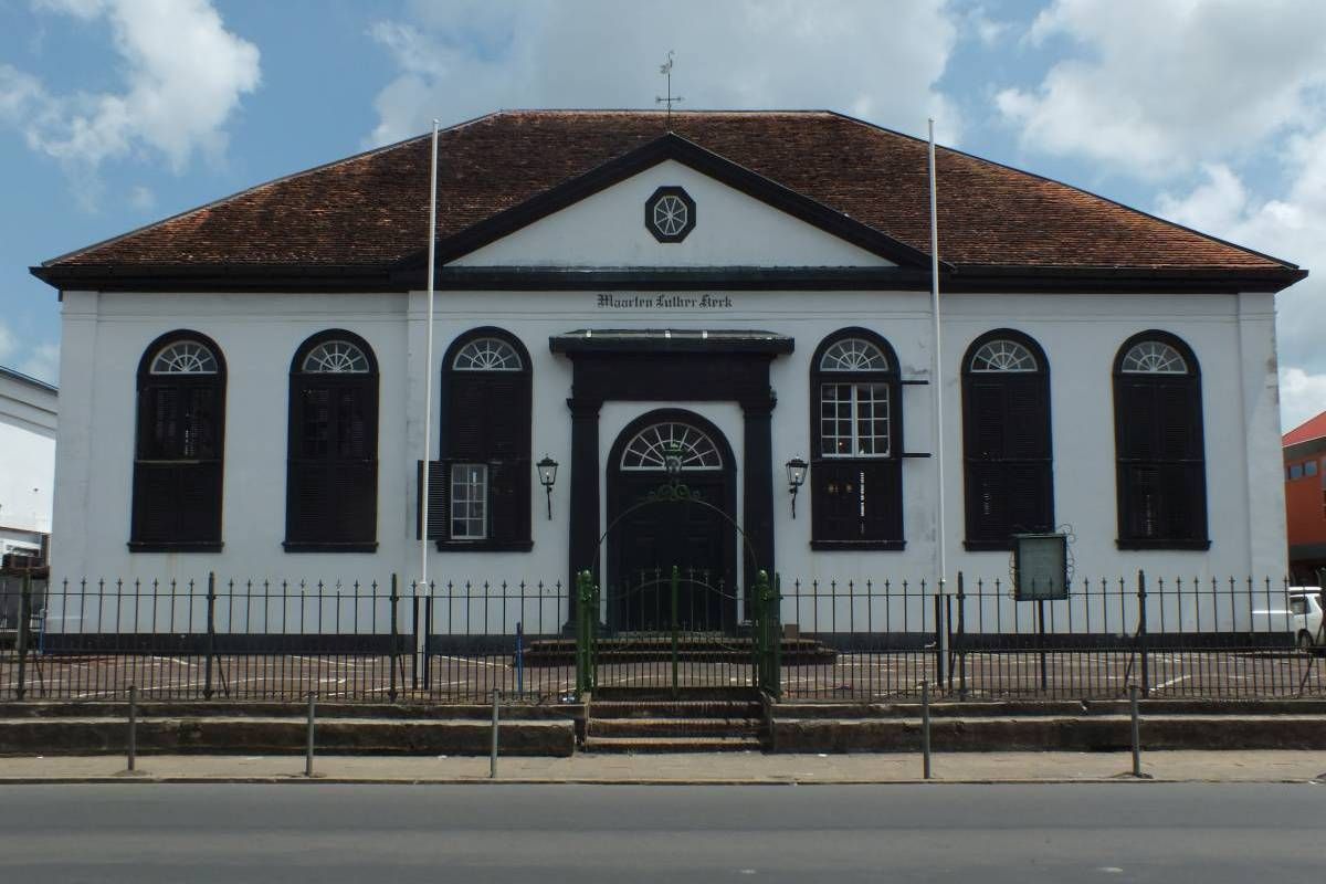
Behind the church some slabs are visible in the pavement. Probably from the former churchyard behind the church.

Lutheran Church

ID

SUR-013
Place
Paramaribo
Address
Waterkant
Location
5°49'25.2"N 55°09'34.2"W
Size (m2)
Denomination
Lutheran

Owner

Church

In use

1750

Out of use

18xx

Still exists

Yes

Information


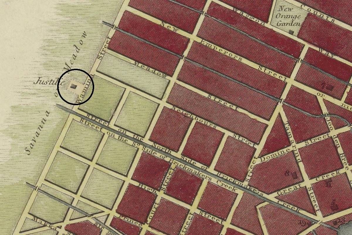
Gallow

ID

SUR-012
Place
Paramaribo
Address
J.A. Pengelstraat
Location
5°49'45.2"N 55°10'07.8"W
Size (m2)
Denomination
Gouvernement

Owner

Gouvernement

In use

1760

Out of use

1821 approx.

Still exists

No

Information

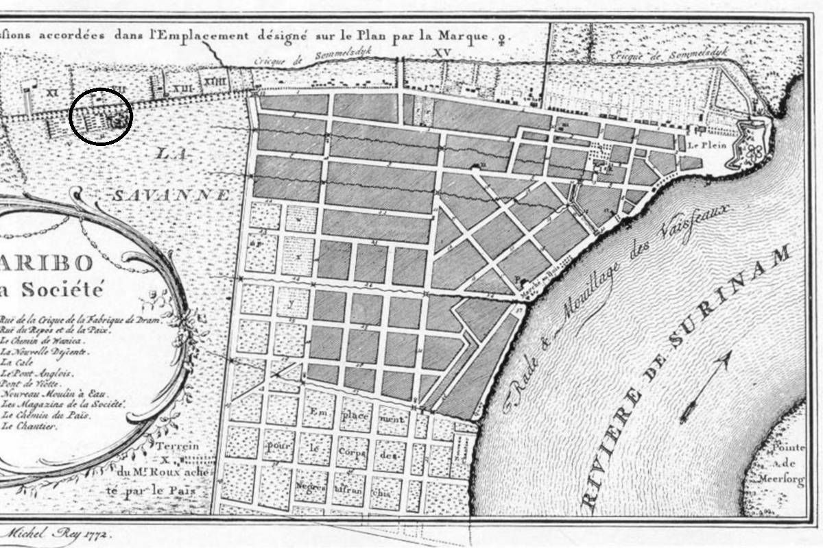
Though officially not a cemetery, it was custom remains were buried beneath a gallow, sometimes in a pit. (Prev. Wanicastraat)

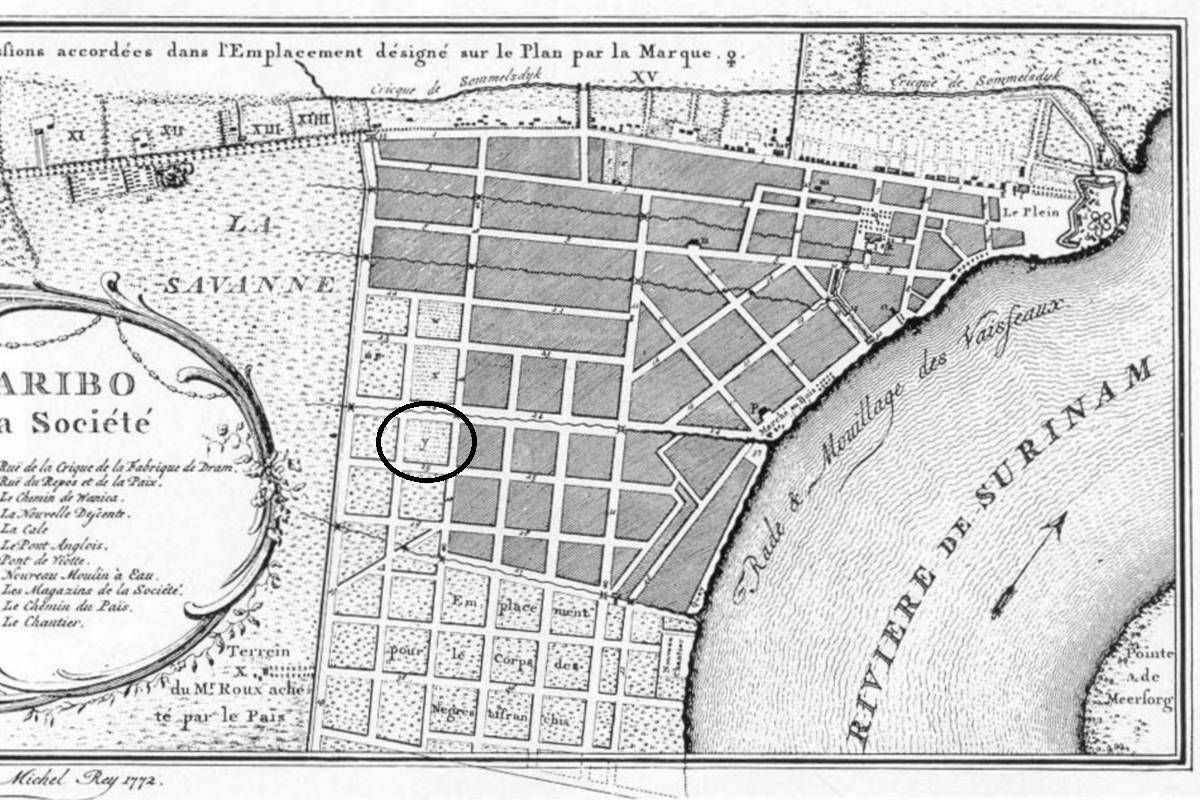
'Vrije lieden' Cemetery

ID

SUR-011
Place
Paramaribo
Address
Fred Derbystraat
Location
5°49'36.3"N 55°10'01.8"W
Size (m2)
Denomination
Gouvernement

Owner

Gouvernement

In use

1750

Out of use

1873

Still exists

No

Information

Prev. Rust en Vredestraat

Ashkenazic - Old

ID

SUR-006
Place
Paramaribo
Address
Kwattaweg
Location
5°50'09.5"N 55°10'14.2"W
Size (m2)
Denomination
Jewish

Owner

Jewish community

In use

1715

Out of use

1892

Still exists

Yes

Information


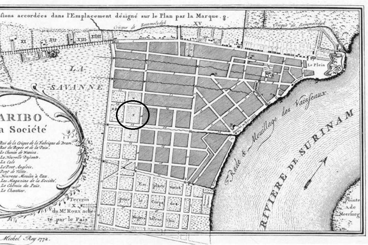
Sailors cemetery

ID

SUR-010
Place
Paramaribo
Address
Fred Derbystraat
Location
5°49'40.7"N 55°09'58.9"W
Size (m2)
Denomination
Gouvernement

Owner

Gouvernement

In use

1750

Out of use

1873

Still exists

No

Information

Prev. Rust en Vredestraat

Sefardic - Old

ID

SUR-007
Place
Paramaribo
Address
Kwattaweg
Location
5°50'05.3"N 55°10'02.5"W
Size (m2)
Denomination
Jewish

Owner

Jewish community

In use

1715

Out of use

1892

Still exists

No

Information


Soldiers Cemetery

ID

SUR-009
Place
Paramaribo
Address
Fred Derbystraat
Location
5°49'44.4"N 55°09'56.9"W
Size (m2)
Denomination
Gouvernement

Owner

Gouvernement

In use

1750

Out of use

1873

Still exists

No

Information

Prev. Rust en Vredestraat